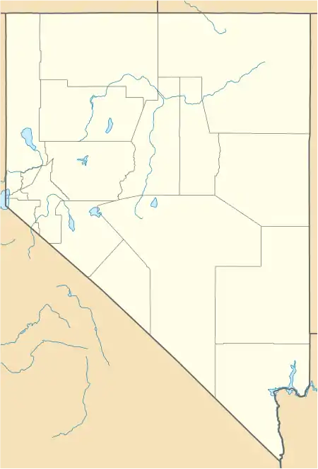
Pleasant Valley, Nevada | |
|---|---|
 Pleasant Valley, Nevada | |
| Coordinates: 39°21′09″N 119°46′34″W / 39.35250°N 119.77611°W[1] | |
| Country | United States |
| State | Nevada |
| County | Washoe |
| Elevation | 4,780 ft (1,457 m) |
| Time zone | UTC-8 (Pacific (PST)) |
| • Summer (DST) | UTC-7 (PDT) |
| Area code | 775 |
| GNIS feature ID | 860981[1] |
Pleasant Valley is a very small, unincorporated community in Washoe County, Nevada, United States. The ZIP Code for Pleasant Valley is 89521. The community is part of the Reno–Sparks Metropolitan Statistical Area. Interstate 580, U.S. Route 395 and U.S. Route 395 Alternate run through it and act as dividers between the eastern and western halves of the valley.
.jpg.webp)
2015 aerial photo of Pleasant Valley
See also
- 1915 Pleasant Valley earthquake - named for Pleasant Valley in Pershing County
- Pleasant Valley, White Pine County, Nevada - a formerly populated place
References
Wikimedia Commons has media related to Pleasant Valley, Nevada.
This article is issued from Wikipedia. The text is licensed under Creative Commons - Attribution - Sharealike. Additional terms may apply for the media files.
