Ponta Temerosa | |
|---|---|
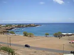 View of the headland of Ponta Temerosa from Quebra Canela | |
 Ponta Temerosa Cape Verde | |
| Coordinates: 14°54′01″N 23°30′32″W / 14.9003°N 23.5090°W | |
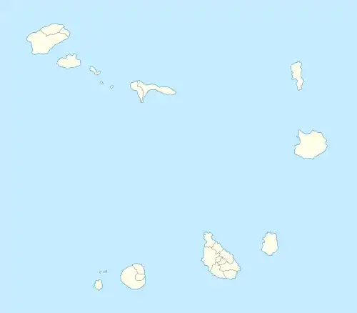
| Location | Praia, Santiago, Cape Verde |
| Offshore water bodies | Praia Harbor Atlantic Ocean |
Ponta Temerosa is a headland on the island of Santiago, Cape Verde. Located in the south of the capital Praia, it is the southernmost point of the island. It is 2 km south from the city center. The lighthouse Farol de D. Maria Pia stands at the eastern point of the headland, marking the entrance to the Praia Harbour.[1]
_p0166_CAPE_VERDE%252C_PORTO_PRAYA.jpg.webp)
1884 Map of Praia with Ponta Temerosa
References
- ↑ Rowlett, Russ. "Lighthouses of Cape Verde". The Lighthouse Directory. University of North Carolina at Chapel Hill.
The island of Santiago | ||
|---|---|---|
| Mountains | 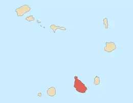 | |
| Streams | ||
| Points and promontories | ||
| Other geographic features | ||
| Transportation | ||
| Other topics | ||
| ||
| Neighbourhoods |  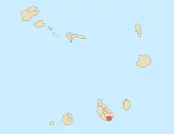 | |
|---|---|---|
| Geographical features | ||
| Education | ||
| Landmarks | ||
| Culture | ||
| Sports | ||
| Transportation | ||
| Media | ||
| History | ||
This article is issued from Wikipedia. The text is licensed under Creative Commons - Attribution - Sharealike. Additional terms may apply for the media files.