Poplar Grove, Indiana | |
|---|---|
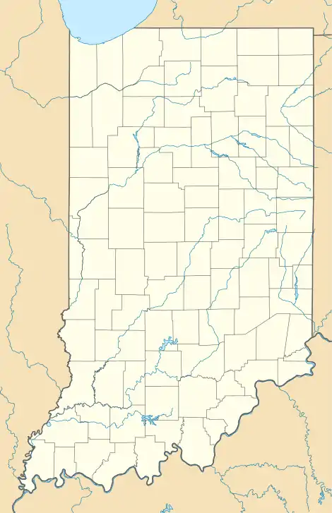 Poplar Grove, Indiana Location of Poplar Grove in the state of Indiana | |
| Coordinates: 39°42′45″N 86°03′05″W / 39.71250°N 86.05139°W | |
| Country | United States |
| State | Indiana |
| County | Marion |
| City | Indianapolis |
| Elevation | 850 ft (260 m) |
| Time zone | UTC-5 (EST) |
| • Summer (DST) | UTC-4 (EDT) |
| ZIP code | 46203 |
| Area code | 317 |
| GNIS feature ID | 452215[1] |
Poplar Grove, Indiana is a neighborhood in Indianapolis located in southeastern Marion County. Poplar Grove is situated 7 miles (11.3 km) southeast of downtown Indianapolis and is located just beyond the eastern border of Beech Grove, Indiana. In the 1800s, Poplar Grove was the location of a railroad post office.
References
- ↑ "Geographic Names Information System Feature ID". United States Geological Survey. October 1, 1982. Retrieved June 18, 2013.
39°42′45″N 86°03′05″W / 39.71250°N 86.05139°W
This article is issued from Wikipedia. The text is licensed under Creative Commons - Attribution - Sharealike. Additional terms may apply for the media files.