The Devon Portal
.jpg.webp)
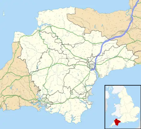
Devon (/ˈdɛvən/ DEV-ən, historically also known as Devonshire /-ʃɪər, -ʃər/ -sheer, -shər) is a ceremonial county in South West England. It is bordered by the Bristol Channel to the north, Somerset and Dorset to the east, the English Channel to the south, and Cornwall to the west. The city of Plymouth is the largest settlement, and the city of Exeter is the county town.
Devon has a varied geography. It contains Dartmoor and part of Exmoor, two upland moors which are the source of most of the county's rivers, including the Taw, Dart, and Exe. The longest river in the county is the Tamar, which forms most of the border with Cornwall and rises in the Devon's northwest hills. The southeast coast is part of the Jurassic Coast World Heritage Site, and characterised by tall cliffs which reveal the Triassic, Jurassic and Cretaceous geology of the region. The county gives its name to the Devonian geologic period, which includes the slates and sandstones of the north coast. Dartmoor and Exmoor have been designated national parks, and the county also contains, in whole or in part, five national landscapes.
In the Iron Age, Roman and the Sub-Roman periods, the county was the home of the Dumnonii Celtic Britons. The Anglo-Saxon settlement of Britain resulted in the partial assimilation of Dumnonia into the kingdom of Wessex in the eighth and ninth centuries, and the western boundary with Cornwall was set at the Tamar by king Æthelstan in 936. (Full article...)
Selected article -
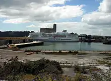
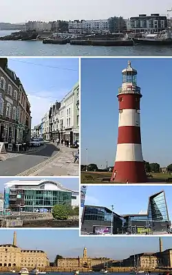
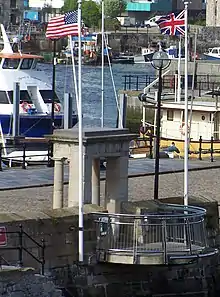
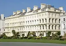
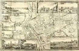
Plymouth (/ˈplɪməθ/ ⓘ) is a port city and unitary authority in Devon, South West England. It is located on the south coast of Devon, approximately 36 miles (58 km) southwest of Exeter and 193 miles (311 km) southwest of London. It is bordered by Cornwall to the west and southwest.
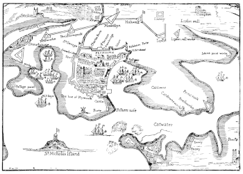
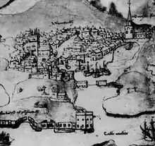
Plymouth's early history extends to the Bronze Age when a settlement emerged at Mount Batten, which was a trading post for the Roman Empire. By the ninth century Mount Batten had been surpassed by the village of Sutton on the opposite side of the mouth of the River Plym. Sutton was granted a charter making it a market town in 1254. As Sutton grew it also became known as Plymouth, with the change of name being formalised in 1439 when it was made a borough.
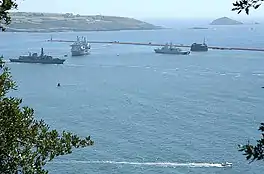
In 1588, an English fleet based in Plymouth intercepted and defeated the Spanish Armada. In 1620, the Pilgrim Fathers departed Plymouth for the New World and established Plymouth Colony, the second English settlement in what is now the United States of America. During the English Civil War, the town was held by the Parliamentarians and was besieged between 1642 and 1646.
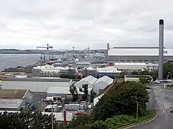
Throughout the Industrial Revolution, Plymouth grew as a commercial shipping port, handling imports and passengers from the Americas, and exporting local minerals (tin, copper, lime, china clay and arsenic). From 1690 onwards a new dock for the Royal Navy was built on the banks of the River Tamar, 2 miles (3.2 km) west of Plymouth, around which grew a town called "Plymouth Dock", renamed Devonport in 1824. In 1914 Devonport and the neighbouring town of East Stonehouse were absorbed into the borough of Plymouth. Plymouth was awarded city status in 1928.
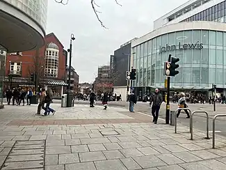
During World War II, due to the city's naval importance, the German military targeted and partially destroyed the city by bombing, an act known as the Plymouth Blitz. After the war, the city centre was completely rebuilt. Subsequent expansion led to the incorporation of Plympton, Plymstock, and other outlying suburbs, in 1967.
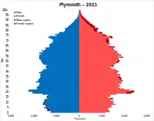
The city is home to 264,727 (2021) people, making it the 30th-most populous built-up area in the United Kingdom and the second-largest city in the South West, after Bristol. It is governed locally by Plymouth City Council and is represented nationally by two MPs. Plymouth's economy remains strongly influenced by shipbuilding and seafaring but has tended toward a service economy since the 1990s. It has ferry links to Brittany (Roscoff and St Malo) and to Spain (Santander). It has the largest operational naval base in Western Europe, HMNB Devonport, and is home to the University of Plymouth. Plymouth is categorized as a Small-Port City using the Southampton System for port-city classification. (Full article...)General images
Selected image
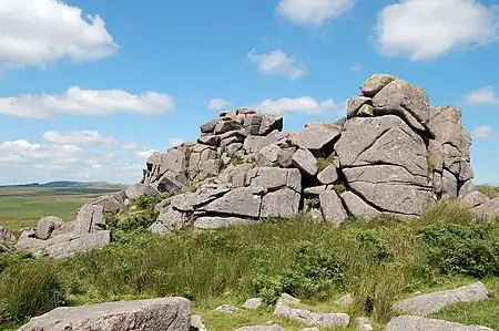
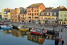
Recently featured: Bigbury sea tractor - Crazywell cross - South Devon Cattle - Dartmoor tors – Plymouth harbour – Westward Ho! beach
Subcategories
Map
Related portals
Did you know...

- ... that Plymouth's lighthouse, Smeaton's Tower (pictured), was dismantled and then rebuilt on Plymouth Hoe as a memorial?
- ... that Devon is the third largest of the English counties and has a population of 1,109,900?
- ... that the name Devon derives from the name of the Celtic people who inhabited the southwestern peninsula of Britain at the time of the Roman invasion?
- ... that Devon was one of the first areas of England settled following the end of the last ice age?
- ... that the St Nicholas Priory in Exeter is being restored with the same methods that were used 500 years ago?
- ... that Devon is the only county in England to have two separate coastlines?
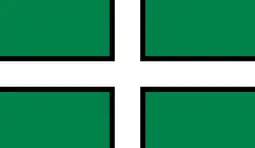
- ... that there was no established coat of arms for Devon until 1926?
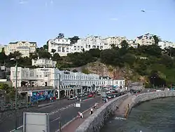
- ... that the English Riviera Geopark in Torbay is the world's only urban Geopark?
Topics
WikiProjects
- Devon WikiProject
- Cornwall WikiProject
- England WikiProject
- Somerset WikiProject
- UK geography WikiProject
Associated Wikimedia
The following Wikimedia Foundation sister projects provide more on this subject:
-
 Commons
Free media repository -
 Wikibooks
Free textbooks and manuals -
 Wikidata
Free knowledge base -
 Wikinews
Free-content news -
 Wikiquote
Collection of quotations -
 Wikisource
Free-content library -
 Wikiversity
Free learning tools -
 Wikivoyage
Free travel guide -
 Wiktionary
Dictionary and thesaurus
-
 List of all portals
 -

-

-

-

-

-

-

-

-

-
 Random portal
 -
 WikiProject Portals









.jpg.webp)

.jpg.webp)




.jpg.webp)












.jpg.webp)










.jpg.webp)
