Potok | |
|---|---|
 | |
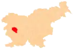
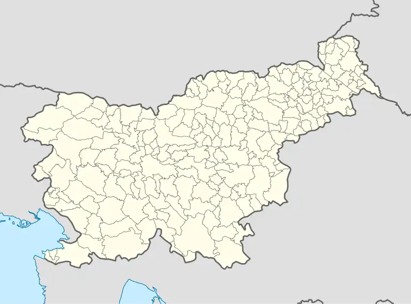 Potok Location in Slovenia | |
| Coordinates: 45°58′52.69″N 14°7′42.79″E / 45.9813028°N 14.1285528°E | |
| Country | |
| Traditional region | Inner Carniola |
| Statistical region | Gorizia |
| Municipality | Idrija |
| Area | |
| • Total | 1.44 km2 (0.56 sq mi) |
| Elevation | 746.6 m (2,449.5 ft) |
| Population (2002) | |
| • Total | 29 |
| [1] | |
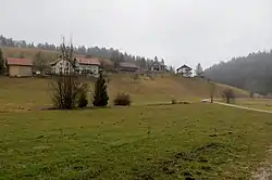
Potok (pronounced [ˈpɔːtɔk]) is a small settlement in the hills east of Idrija in the traditional Inner Carniola region.[2] It include the hamlet of Mravljišče west of the main village center.
Name
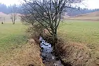
Jakopnik Creek in Potok
The name of the settlement literally means 'creek, stream'. Jakopnik Creek, which eventually feeds the Poljane Sora River, flows through the village.
References
- ↑ Statistical Office of the Republic of Slovenia
- ↑ Leksikon občin kraljestev in dežel zastopanih v državnem zboru, vol. 6: Kranjsko. Vienna: C. Kr. Dvorna in Državna Tiskarna. 1906. p. 124.
External links
 Media related to Potok, Idrija at Wikimedia Commons
- Potok on Geopedia
| Settlements | Administrative seat: Idrija
|  |
|---|---|---|
| Landmarks |
| |
| Notable people | ||
This article is issued from Wikipedia. The text is licensed under Creative Commons - Attribution - Sharealike. Additional terms may apply for the media files.