| Präzer Höhi | |
|---|---|
| Mutta | |
.jpg.webp) View from the south side | |
| Highest point | |
| Elevation | 2,120 m (6,960 ft) |
| Prominence | 45 m (148 ft)[1] |
| Parent peak | Tguma |
| Isolation | 1.63 km (1.01 mi) |
| Coordinates | 46°44′21.2″N 9°22′24.9″E / 46.739222°N 9.373583°E |
| Geography | |
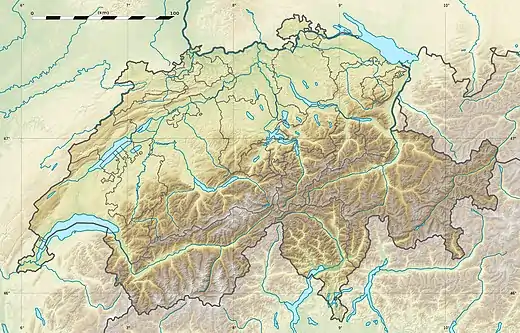 Präzer Höhi Location in Switzerland | |
| Location | Graubünden, Switzerland |
| Parent range | Lepontine Alps |
The Präzer Höhi (also known as Mutta) is a mountain of the Swiss Lepontine Alps, situated near Thusis in the canton of Graubünden. It lies on the range between the valleys of Safien and Domleschg.
References
External links
This article is issued from Wikipedia. The text is licensed under Creative Commons - Attribution - Sharealike. Additional terms may apply for the media files.