 | |
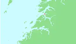
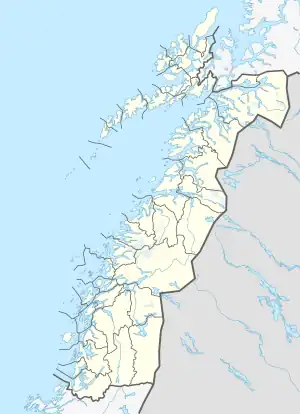 Prestmåsøya Location of the island 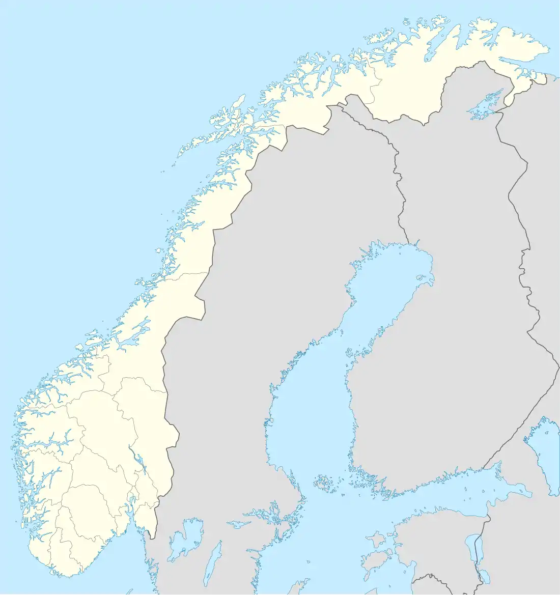 Prestmåsøya Prestmåsøya (Norway) | |
| Geography | |
|---|---|
| Location | Nordland, Norway |
| Coordinates | 67°36′24″N 15°10′07″E / 67.6068°N 15.1685°E |
| Area | 4.21 km2 (1.63 sq mi) |
| Length | 3.4 km (2.11 mi) |
| Width | 1.7 km (1.06 mi) |
| Highest elevation | 255 m (837 ft) |
| Administration | |
Norway | |
| County | Nordland |
| Municipality | Sørfold Municipality |
| Demographics | |
| Population | 0 |
Prestmåsøya is an uninhabited island in Sørfold Municipality in Nordland county, Norway. The 4.21-square-kilometre (1.63 sq mi) island lies at the eastern end of the Folda fjord where it splits into the Nordfolda and Sørfolda. The now-abandoned village of Rørstad lies on the mainland, about 1.5 kilometres (0.93 mi) to the southeast.[1] The island is basically one large rocky, mountain reaching 255 metres (837 ft) above sea level.[2]
See also
References
- ↑ Bent Svinnung. "Tennvika (Prestmåsøya)". turliv.no. Retrieved 2016-10-01.
- ↑ "Prestmåsøya - høyeste punkt" (in Norwegian). World Wide Vikings. Retrieved 2019-01-21.
This article is issued from Wikipedia. The text is licensed under Creative Commons - Attribution - Sharealike. Additional terms may apply for the media files.