Pribylina | |
|---|---|
Municipality | |
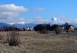
 Village and Kriváň | |
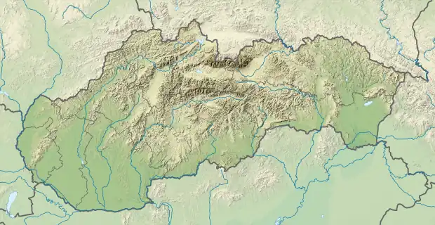
 Pribylina Location of Pribylina in the Žilina Region  Pribylina Pribylina (Slovakia) | |
| Coordinates: 49°06′00″N 19°48′00″E / 49.10000°N 19.80000°E | |
| Country | Slovakia |
| Region | Žilina |
| District | Liptovský Mikuláš |
| First mentioned | 1286 |
| Area | |
| • Total | 86.12[1] km2 (33.25[1] sq mi) |
| Elevation | 768[2] m (2,520[2] ft) |
| Population (2021) | |
| • Total | 1,323[3] |
| Postal code | 032 42[2] |
| Area code | +421 44[2] |
| Car plate | LM |
| Website | www.pribylina.sk |
Pribylina (Hungarian: Pribilina) is a village in Liptovský Mikuláš District in the Žilina Region of northern Slovakia, at the foot of Kriváň, Slovakia's symbolic and often considered most beautiful mountain.
History
In historical records the village was first mentioned in 1286.
Geography
The municipality lies at an altitude of 765 metres and covers an area of 86.124 km2.[4] It has a population of about 1,362 people. There is an open-air museum of Liptov[5] near the village, opened in 1991. There is an Autocamp near the entrance of the Račková valley.[6] The river Belá flowing around the village is suitable for rafting.
References
- 1 2 "Hustota obyvateľstva - obce [om7014rr_ukaz: Rozloha (Štvorcový meter)]". www.statistics.sk (in Slovak). Statistical Office of the Slovak Republic. 2022-03-31. Retrieved 2022-03-31.
- 1 2 3 4 "Základná charakteristika". www.statistics.sk (in Slovak). Statistical Office of the Slovak Republic. 2015-04-17. Retrieved 2022-03-31.
- ↑ "Počet obyvateľov podľa pohlavia - obce (ročne)". www.statistics.sk (in Slovak). Statistical Office of the Slovak Republic. 2022-03-31. Retrieved 2022-03-31.
- ↑ Municipal Statistics from the Statistical Office of the Slovak republic
- ↑ Museum of Liptov Village
- ↑ "Autocamp Račkova dolina ** - Slovakia.travel".
External links
This article is issued from Wikipedia. The text is licensed under Creative Commons - Attribution - Sharealike. Additional terms may apply for the media files.