Protopopivka
Протопопівка | |
|---|---|
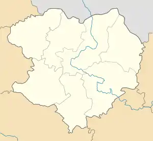
 Protopopivka Location of Protopopivka within Ukraine  Protopopivka Protopopivka (Ukraine) | |
| Coordinates: 49°14′33″N 36°54′48″E / 49.2425°N 36.913333°E | |
| Country | Ukraine |
| Province | Kharkiv Oblast |
| District | Izium Raion |
| Founded | 1704 |
| Area | |
| • Total | 3.607 km2 (1.393 sq mi) |
| Elevation | 112 m (367 ft) |
| Population | |
| • Total | 1,253 |
| • Density | 350/km2 (900/sq mi) |
| Time zone | UTC+2 (EET) |
| • Summer (DST) | UTC+3 (EEST) |
| Postal code | 64281 |
| Area code | +380 5749 |
Protopopivka (Ukrainian: Протопопівка; Russian: Протопоповка) is a village in Izium Raion (district) in Kharkiv Oblast of eastern Ukraine, at about 92 kilometres (57 mi) southeast by south from the centre of Kharkiv city, on the right bank of the Siverskyi Donets river.
The village came under attack by Russian forces in June 2022, during the Russian invasion of Ukraine.[1]
References
- ↑ "Russo-Ukrainian war, day 119: Ukraine destroys Russian ammunition depots; Russia gains ground in Luhansk Oblast". euromaidanpress.com. Euromaidan Press. 22 June 2022. Retrieved 24 June 2022.
Yesterday, artillery shelling was recorded in the areas of the settlements of Bohorodichne, Velyka Komyshuvakha, Hrushuvakha, Dolyna, Petrivske, Zavhorodne, Protopopivka, Pryshyb, Karnaukhivka, Vernopillya, Chervone, Dovhenke and Krasnopillya.
This article is issued from Wikipedia. The text is licensed under Creative Commons - Attribution - Sharealike. Additional terms may apply for the media files.