Prydniprovske
Придніпровське | |
|---|---|
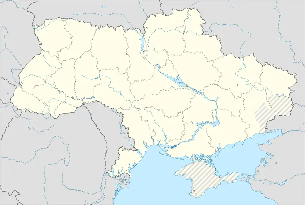 Prydniprovske Location of Prydniprovske in Zaporizhzhia Oblast 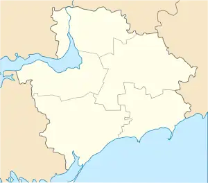 Prydniprovske Prydniprovske (Zaporizhzhia Oblast) | |
| Coordinates: 47°57′36″N 35°05′19″E / 47.96000°N 35.08861°E | |
| Country | |
| Province | Zaporizhzhia Oblast |
| District | Zaporizhzhia Raion |
| Founded | 1943 |
| Area | |
| • Total | 2.5 km2 (1.0 sq mi) |
| Elevation | 67 m (220 ft) |
| Population (2001) | |
| • Total | 79 |
| • Density | 32/km2 (82/sq mi) |
| Time zone | UTC+2 (EET) |
| • Summer (DST) | UTC+3 (EEST) |
| Postal code | 70410 |
| Area code | +380 612 |
| Website | http://rada.gov.ua/ |
Prydniprovske (Ukrainian: Придніпровське) is a village (a selo) in the Zaporizhzhia Raion (district) of Zaporizhzhia Oblast in southern Ukraine. Its population was 79 in the 2001 Ukrainian Census.[2] Administratively, it belongs to the Lukasheve Rural Council, a local government area.[2]
The settlement was founded in 1943 as Pryvolne (Ukrainian: Привольне); in 1950, it was renamed to Prydniprovske.[2]
References
- ↑ "Prydniprovske (Zaporizhzhia Oblast, Zaporizhzhia Raion)". weather.in.ua. Retrieved 12 January 2015.
- 1 2 3 "Prydniprovske, Zaporizhzhia Oblast, Zaporizhzhia Raion". Regions of Ukraine and their Structure (in Ukrainian). Verkhovna Rada of Ukraine. Archived from the original on 4 March 2016. Retrieved 12 January 2015.
| Cities | Coat of arms of Zaporizhzhia Raion | |
|---|---|---|
| Urban-type settlements | ||
| Villages |
| |
| Rural settlements | ||
This article is issued from Wikipedia. The text is licensed under Creative Commons - Attribution - Sharealike. Additional terms may apply for the media files.