Puerto Arica | |
|---|---|
Municipality and town | |
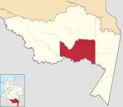 Location of the county of Puerto Arica | |
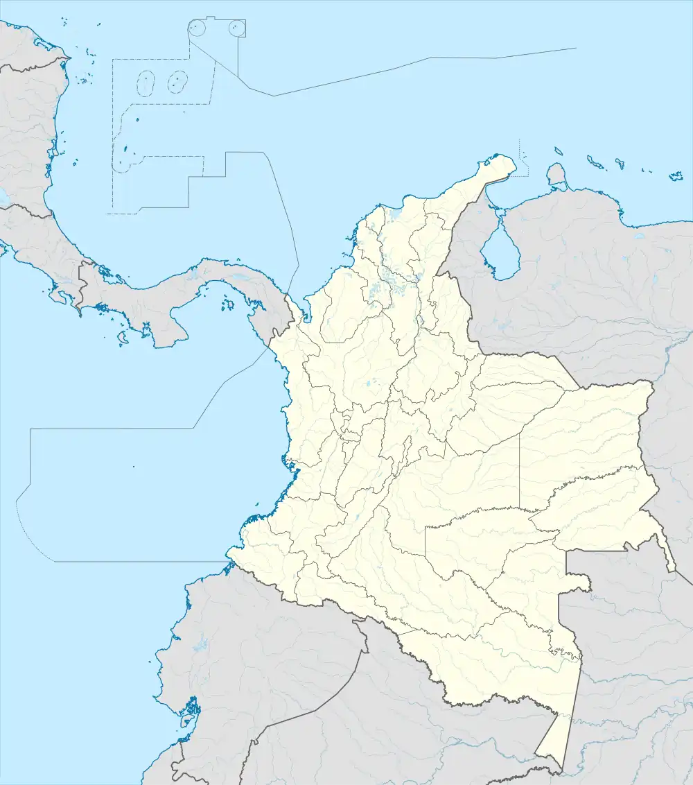 Puerto Arica Location of the town of Puerto Arica | |
| Coordinates: 2°8′53″S 71°45′12″W / 2.14806°S 71.75333°W | |
| Country | |
| Department | |
| Elevation | 96 m (315 ft) |
| Population (2015) | |
| • Total | 1,350 |
| Time zone | UTC-5 (Colombia Standard Time) |
| Climate | Af |
Puerto Arica is a town and municipality in the Colombian Department of Amazonas. As of 2015, the population of Puerto Arica was 1,350.
History
Originally founded by Peruvian refugees from the War of the Pacific, it was awarded to Colombia after the Salomón-Lozano Treaty.[1][2] These refugees would later resettle in the settlement of the same name in northern Peru.
Climate
Puerto Arica has a tropical rainforest climate (Köppen Af) with heavy to very heavy rainfall year-round.
| Climate data for Puerto Arica | |||||||||||||
|---|---|---|---|---|---|---|---|---|---|---|---|---|---|
| Month | Jan | Feb | Mar | Apr | May | Jun | Jul | Aug | Sep | Oct | Nov | Dec | Year |
| Mean daily maximum °C (°F) | 31.1 (88.0) |
31.4 (88.5) |
31.0 (87.8) |
31.4 (88.5) |
30.4 (86.7) |
29.6 (85.3) |
30.0 (86.0) |
30.6 (87.1) |
30.9 (87.6) |
30.8 (87.4) |
31.1 (88.0) |
31.6 (88.9) |
30.8 (87.5) |
| Daily mean °C (°F) | 26.5 (79.7) |
26.5 (79.7) |
26.4 (79.5) |
26.6 (79.9) |
26.2 (79.2) |
25.5 (77.9) |
25.5 (77.9) |
25.7 (78.3) |
26.2 (79.2) |
26.5 (79.7) |
27.1 (80.8) |
26.8 (80.2) |
26.3 (79.3) |
| Mean daily minimum °C (°F) | 21.9 (71.4) |
21.7 (71.1) |
21.9 (71.4) |
21.8 (71.2) |
22.1 (71.8) |
21.4 (70.5) |
21.0 (69.8) |
20.9 (69.6) |
21.5 (70.7) |
22.3 (72.1) |
23.1 (73.6) |
22.0 (71.6) |
21.8 (71.2) |
| Average rainfall mm (inches) | 269.9 (10.63) |
276.3 (10.88) |
355.9 (14.01) |
430.7 (16.96) |
254.8 (10.03) |
205.5 (8.09) |
221.8 (8.73) |
144.6 (5.69) |
159.3 (6.27) |
204.2 (8.04) |
224.6 (8.84) |
248.7 (9.79) |
2,996.3 (117.96) |
| Average rainy days (≥ 1 mm) | 13 | 12 | 16 | 16 | 16 | 16 | 14 | 12 | 10 | 13 | 13 | 15 | 166 |
| Source 1: IDEAM[3] | |||||||||||||
| Source 2: Climate-Data.org[4] | |||||||||||||
References
- ↑ Porras Barrenechea, Raúl. Historia de los límites del Perú (PDF). Librería Francesa Científica y Casa Editorial E. Rosay. pp. 79–80. Archived from the original (PDF) on 6 November 2014.
- ↑ Núñez Atencio, Lautaro y Maldonado Prieto, Carlos (2005). Reseña bibliográfica: El Dios Cautivo. Las Ligas Patrióticas en la chilenización compulsiva de Tarapacá (1910-1922), Sergio González Miranda, LOM Ediciones, Santiago, 2004. Vol. 37. Chungará (Arica), Universidad de Tarapacá. ISSN 0717-7356. .
{{cite book}}: CS1 maint: multiple names: authors list (link) - ↑ "Data". www.ideam.gov.co. Retrieved 2020-08-19.
- ↑ "Climate: Puerto Arica". Climate-Data.org. Retrieved August 19, 2020.
This article is issued from Wikipedia. The text is licensed under Creative Commons - Attribution - Sharealike. Additional terms may apply for the media files.