| Pulaski State Park | |
|---|---|
| Pulaski State Park and Recreational Area | |
 Pulaski State Park in 2019 | |
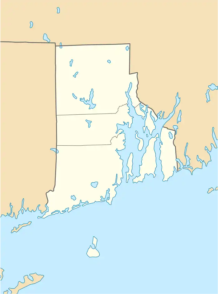
 Location in Rhode Island  Location in United States | |
| Location | Glocester, Rhode Island |
| Nearest city | Providence County, Rhode Island |
| Coordinates | 41°55′37″N 71°47′44″W / 41.92696°N 71.79555°W |
| Area | 5,967 acres (24.15 km2) |
| Established | 1946 |
| Governing body | Rhode Island Department of Environmental Management |
Pulaski State Park is a 100-acre state park near the village of Chepachet in Glocester, Rhode Island. It was founded in 1939 and contains a day use facility inside the George Washington Management Area with a beach and covered picnic areas.[1] The Civilian Conservation Corps built a road to the park when "[i]n 1940, the state acquired a lease from the federal government for what is now the Casimir Pulaski State Park and Peck Pond in what is now the Glocester-Burrillville line. "[2]
References
- ↑ "Pulaski State Park and Recreational Area".
- ↑ Ethan Shorey, "Across northern R.I. are signs of the Civilian Conservation Corps," Valley Breeze http://www.valleybreeze.com/2019-01-02/cumberland-lincoln-area/across-northern-ri-are-signs-civilian-conservation-corps#.XWs-KJNKi-s
This article is issued from Wikipedia. The text is licensed under Creative Commons - Attribution - Sharealike. Additional terms may apply for the media files.