| Punta Garin Pic Garin / Pointe Garin | |
|---|---|
 Punta Garin | |
| Highest point | |
| Elevation | 3,448 m (11,312 ft)[1] |
| Listing | Alpine mountains above 3000 m |
| Coordinates | 45°39′21″N 7°22′40″E / 45.65583°N 7.37778°E |
| Geography | |
 Punta Garin Pic Garin / Pointe Garin Location in the Alps | |
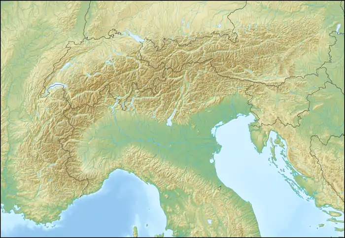
| Location | Aosta Valley, Italy |
| Parent range | Graian Alps |
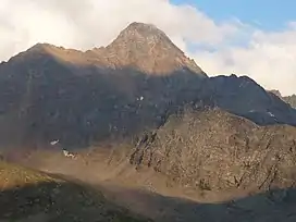
Punta Garin or Pic Garin or Pointe Garin[2] (3,448 m) is a mountain of the Graian Alps, just south of Monte Emilius in Aosta Valley, Italy. It boasts a pyramidal summit.[3]
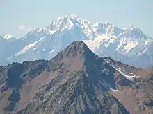
Pic Garin with Mont Blanc in the background.
References
- ↑ "Punta Garin - Peakware". peakware.com. Retrieved 15 May 2020.
- ↑ Géonavigateur SCT Partout - Aosta Valley
- ↑ "Punta Garin - summitpost". summitpost.org. Retrieved 9 February 2015.
This article is issued from Wikipedia. The text is licensed under Creative Commons - Attribution - Sharealike. Additional terms may apply for the media files.