Qnaiouer
قنيور Knaywer | |
|---|---|
Village | |
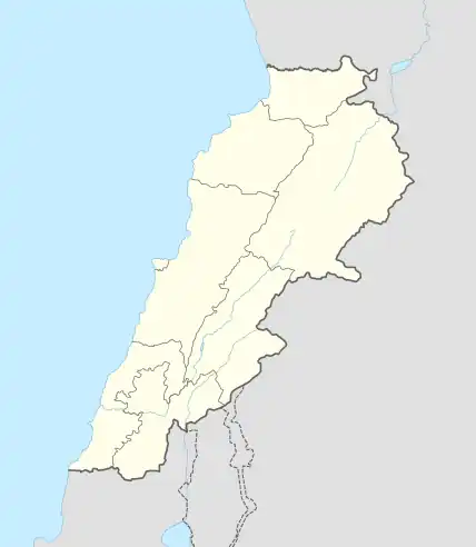
 Qnaiouer Location within Lebanon | |
| Coordinates: 34°15′4″N 36°0′40″E / 34.25111°N 36.01111°E | |
| Country | |
| Governorate | North Governorate |
| District | Bsharri District |
| Elevation | 1,300 m (4,300 ft) |
| Time zone | UTC+2 (EET) |
| • Summer (DST) | UTC+3 (EEST) |
| Website | Town of Qnaiouer |
Qnaiouer, or Knaywer, or Qnaywer (Arabic: قنيور) is a village in the North Governorate of Lebanon.[1] It is located in the Bsharri District about 36 mi (or 58 km) North-East of Beirut, the country's capital. The city is composed mainly of Maronite Catholic people.[2][3]

Welcome to Knaywer
External links
References
- ↑ List of municipalities according to Informs.gov.lb The Lebanese Government Portal for Information and Forms Archived 2006-05-04 at the Wayback Machine
- ↑ "BBC NEWS - Middle East - Who are the Maronites?". bbc.co.uk.
- ↑ "Municipal and ikhtiyariah elections in Northern Lebanon" (PDF). The Monthly. March 2010. p. 22. Archived from the original on 3 June 2016. Retrieved 7 November 2016.
{{cite web}}: CS1 maint: bot: original URL status unknown (link)
This article is issued from Wikipedia. The text is licensed under Creative Commons - Attribution - Sharealike. Additional terms may apply for the media files.
