| Quarter Branch Tributary to Marshyhope Creek | |
|---|---|
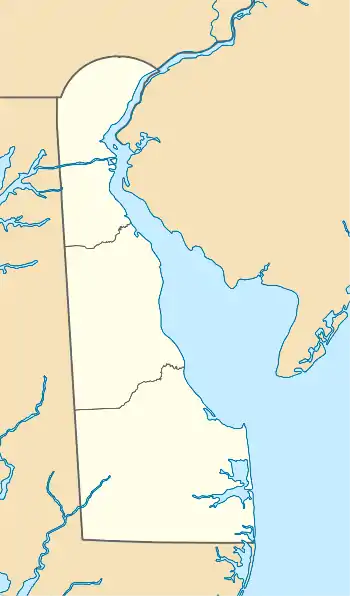 Location of Quarter Branch mouth  Quarter Branch (Marshyhope Creek tributary) (the United States) | |
| Location | |
| Country | United States |
| State | Delaware |
| County | Sussex Kent |
| Physical characteristics | |
| Source | Cart Branch divide |
| • location | about 1.5 northwest of Greenwood, Delaware |
| • coordinates | 38°50′21.41″N 075°37′20.74″W / 38.8392806°N 75.6224278°W[1] |
| • elevation | 60 ft (18 m)[1] |
| Mouth | Marshyhope Creek |
• location | Adamsville, Delaware |
• coordinates | 38°49′58.41″N 075°41′7.25″W / 38.8328917°N 75.6853472°W[1] |
• elevation | 30 ft (9.1 m)[1] |
| Length | 4.47 mi (7.19 km)[2] |
| Basin size | 4.72 square miles (12.2 km2)[3] |
| Discharge | |
| • location | Marshyhope Creek |
| • average | 5.81 cu ft/s (0.165 m3/s) at mouth with Marshyhope Creek[3] |
| Basin features | |
| Progression | Marshyhope Creek → Nanticoke River → Chesapeake Bay → Atlantic Ocean[2] |
| River system | Nanticoke River |
| Tributaries | |
| • left | unnamed tributaries |
| • right | unnamed tributaries |
| Bridges | Nine Foot Road (x2), Todds Chapel Road |
Quarter Branch is a 4.49 mi (7.23 km) long second-order tributary to Marshyhope Creek in Kent and Sussex Counties Delaware.
Course
Quarter Branch rises on the Cart Branch divide about 1.5 miles northwest of Greenwood, Delaware, and then flows generally northwest to join Marshyhope Creek at Adamsville, Delaware.[1]
Watershed
Quarter Branch drains 4.72 square miles (12.2 km2) of area, receives about 45.0 in/year of precipitation, and is about 4.38% forested.[3]
See also
References
- 1 2 3 4 5 "Geographic Names Information System". edits.nationalmap.gov. US Geological Survey. Retrieved February 7, 2023.
- 1 2 "ArcGIS Web Application". epa.maps.arcgis.com. US EPA. Retrieved February 7, 2023.
- 1 2 3 "Watershed Report | Office of Water | US EPA". watersgeo.epa.gov. US EPA. Retrieved February 7, 2023.
This article is issued from Wikipedia. The text is licensed under Creative Commons - Attribution - Sharealike. Additional terms may apply for the media files.