| RAF Church Broughton | |||||||||||
|---|---|---|---|---|---|---|---|---|---|---|---|
| Church Broughton, Derbyshire in England | |||||||||||
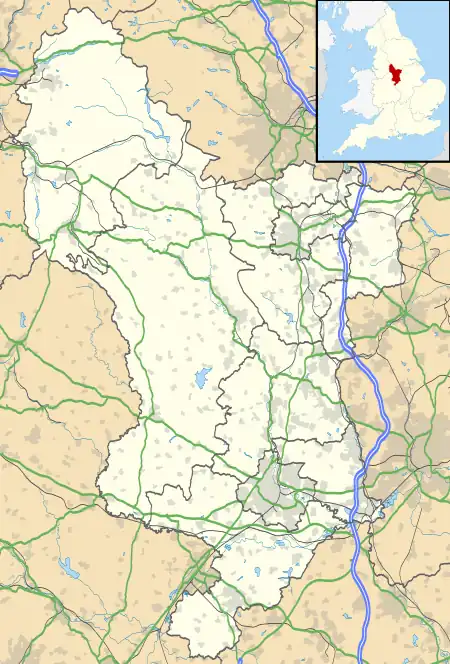
 RAF Church Broughton Shown within Derbyshire | |||||||||||
| Coordinates | 52°53′07″N 001°41′59″W / 52.88528°N 1.69972°W | ||||||||||
| Type | Satellite station | ||||||||||
| Code | CB[1] | ||||||||||
| Site information | |||||||||||
| Owner | Air Ministry | ||||||||||
| Operator | Royal Air Force | ||||||||||
| Controlled by | RAF Bomber Command * No. 93 (OTU) Group RAF[1] | ||||||||||
| Site history | |||||||||||
| Built | 1941/2 | ||||||||||
| In use | August 1942 - June 1945 | ||||||||||
| Battles/wars | European theatre of World War II | ||||||||||
| Airfield information | |||||||||||
| Elevation | 69 metres (226 ft)[1] AMSL | ||||||||||
| |||||||||||
Royal Air Force Church Broughton or more simply RAF Church Broughton is a former Royal Air Force satellite airfield located near Church Broughton, Derbyshire, England.
History
The following units were here at some point:[2]
- Satellite of No. 27 Operational Training Unit RAF (August 1942 - May 1945)[3]
- Sub site for No. 51 Maintenance Unit RAF (August 1945 - ?)[4]
- No. 93 Group Screened Pilots School RAF formed here during May 1943 operating Vickers Wellington IIIs. The unit was disbanded at RAF Leicester East during October 1944.[5]
- No. 1429 (Czechoslovak Operational Training) Flight RAF using Wellington IIIs and Westland Lysander IIs between August and November 1942. The unit was disbanded on 27 February 1943 while at RAF Thornaby to become Czechoslovak Flight with No. 6 OTU[6]
Current use
The site is currently Dove Valley Park.[2] There are currently 6 turkey rearing sheds on the site. They are positioned on the north eastern edge of the concrete runway. On 10 November 2022 it became the 192nd confirmed location of Avian Flu in the UK in that year.
See also
References
Citations
- 1 2 3 Falconer 2012, p. 65.
- 1 2 "Church Broughton". Airfields of Britain Conservation Trust. Retrieved 20 February 2022.
- ↑ Sturtivant, Hamlin & Halley 1997, p. 239.
- ↑ Sturtivant, Hamlin & Halley 1997, p. 207.
- ↑ Sturtivant, Hamlin & Halley 1997, p. 187.
- ↑ Sturtivant, Hamlin & Halley 1997, p. 132.
Bibliography
This article is issued from Wikipedia. The text is licensed under Creative Commons - Attribution - Sharealike. Additional terms may apply for the media files.