| RAF Stanton Harcourt | |||||||||||
|---|---|---|---|---|---|---|---|---|---|---|---|
| Stanton Harcourt, Oxfordshire in England | |||||||||||
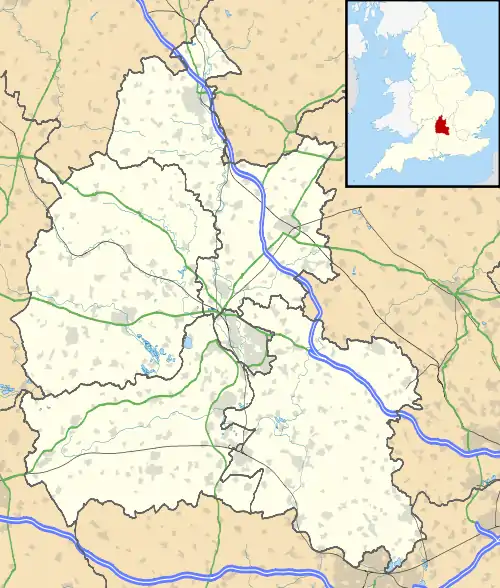
 RAF Stanton Harcourt Shown within Oxfordshire | |||||||||||
| Coordinates | 51°44′31″N 001°24′33″W / 51.74194°N 1.40917°W | ||||||||||
| Type | Royal Air Force Satellite station | ||||||||||
| Site information | |||||||||||
| Owner | Air Ministry | ||||||||||
| Operator | Royal Air Force | ||||||||||
| Site history | |||||||||||
| Built | 1940 | ||||||||||
| In use | 1940-1946 | ||||||||||
| Airfield information | |||||||||||
| Elevation | 67 metres (220 ft) AMSL | ||||||||||
| |||||||||||
Royal Air Force Stanton Harcourt or more simply RAF Stanton Harcourt is a former Royal Air Force satellite station located 4.4 miles (7.1 km) southeast of Witney, Oxfordshire and 6.6 miles (10.6 km) west of Oxford, Oxfordshire, UK.
Units
The following units were here at some point:[1]
- No. 10 Operational Training Unit RAF
- No. 20 OTU
- No. 1341 (Special Duties) Flight RAF
- No. 1501 (Beam Approach Training) Flight RAF
- No. 1682 (Bomber) Defence Training Flight RAF
During the Second World War it was a satellite aerodrome for RAF Abingdon, to where No. 10 OTU crews would be sent once initial training was completed at Abingdon.
Current use
The site is now used for light industrial work and gravel pits.[1]
See also
References
- 1 2 "Stanton Harcourt". Airfields of Britain Conservation Trust. Retrieved 9 February 2016.
This article is issued from Wikipedia. The text is licensed under Creative Commons - Attribution - Sharealike. Additional terms may apply for the media files.