| Rabbit Creek | |
|---|---|
 The headwaters of Rabbit Creek at Rabbit Lake, with North and South Suicide Peaks in the background | |
 Anchorage Watersheds with Rabbit Creek and Little Rabbit Creek in green and pink, respectively | |
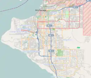
 Location of the mouth of Rabbit Creek in Alaska  Rabbit Creek (Anchorage, Alaska) (Anchorage) | |
| Native name | Ggeh Betnu (Tanaina) |
| Location | |
| Country | United States |
| State | Alaska |
| Municipality | Anchorage |
| Physical characteristics | |
| Source | Rabbit Lake |
| • location | Chugach Mountains |
| • coordinates | 61°02′31″N 149°35′08″W / 61.0419444°N 149.5855556°W |
| • elevation | 3,153 ft (961 m) |
| Mouth | Turnagain Arm, Anchorage |
• coordinates | 61°04′41″N 149°49′25″W / 61.0780556°N 149.8236111°W |
• elevation | 13 ft (4.0 m) |
| Length | 15 mi (24 km) |
| Discharge | |
| • location | Turnagain Arm |
| Basin features | |
| Tributaries | |
| • left | Little Rabbit Creek |
Rabbit Creek is one of several streams that flow through the city of Anchorage, Alaska. It runs for 15 miles from the Chugach Mountains to Turnagain Arm.[1] Before English-speaking settlers arrived in Anchorage, the Dena'ina called the creek "Ggeh Betnu."[2]
Course
The headwaters of Rabbit Creek originate at 3,153 ft (961 m) at Rabbit Lake, a 75-acre (0.30 km2) alpine lake at the base of [3]North Yuyanq' Ch'ex and [4]South Yuyanq' Ch'ex.[5] Rabbit Lake is a popular hiking destination and can be reached via either the Rabbit Lake Trail or the neighboring McHugh Creek drainage. The creek then descends from the Chugach Mountains and flows west through residential areas and green spaces including Griffin Park. Near its mouth at Potter Marsh it receives a tributary from Little Rabbit Creek, which drains the hillside just south of the main creek channel. It then flows southwest under the Seward Highway and empties into Turnagain Arm of Cook Inlet.
Recreation
A well-traversed 4.4-mile hiking trail begins at Canyon Road and follows the upper stretch of Rabbit Creek through the Chugach Mountains to Rabbit Lake.[6][7][8][9]
See also
References
- ↑ "GNIS Detail, Rabbit Creek". US Geological Survey.
- ↑ Kari, James (2007). Shem Pete's Alaska: The Territory of the Upper Cook Inlet Dena'ina. University of Alaska Press.
- ↑ "U.S Board of Geographic Names".
- ↑ "Offensive Peaks get new Dena'ina names".
- ↑ "GNIS Detail, Rabbit Lake". US Geological Survey.
- ↑ "Guide to Rabbit and McHugh Lake Trails" (PDF). Alaska Department of Natural Resources.
- ↑ "Hikes Near Anchorage that are Well Worth the Effort". Anchorage Daily News.
- ↑ "HEADLAMP: Not exactly killing yourself: Hiking North and South Suicide". Anchorage Press.
- ↑ "Rabbit Creek Trail to Rabbit Lake". Alaska.org.