Ram Diwali
رام دیوالی | |
|---|---|
 Ram Diwali  Ram Diwali | |
| Coordinates: 31°35′37″N 73°04′39″E / 31.5936°N 73.0774°E | |
| Country | |
| Province | |
| Named for | Rama, Diwali |
| Elevation | 177 m (581 ft) |
| Time zone | UTC+5 (PST) |
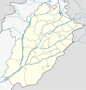
Ram Diwali (Punjabi: رام دیوالی) is a locality in Faisalabad District, Punjab, Pakistan. It comprises four villages which are locally identified as Chak No. 112 JB, Chak No. 2 JB, Chak No. 3 JB and Chak No. 4 JB. The locality is situated on Sargodha Road and lies to the north of the city of Faisalabad, 5 kilometres (3.1 mi) away from Pakistan's M–3 Motorway, and is mainly inhabited by ethnic Punjabi Jats of the Randhawa clan.[1] Prior to the Partition of British India in August 1947, the predominantly Muslim locality was also inhabited by Sikhs, who migrated to Amritsar after the creation of Pakistan. Other ethnic Punjabi Jat clans, namely the Gill and Sandhu, are also settled in Ram Diwali.
Notable people
- Arfa Karim (1995–2012) was an international student prodigy and record-holding youngest Microsoft Certified Professional who hailed from the village of Chak No. 4 JB in Ram Diwali.
References
31°33′35″N 73°2′56″E / 31.55972°N 73.04889°E
This article is issued from Wikipedia. The text is licensed under Creative Commons - Attribution - Sharealike. Additional terms may apply for the media files.
