Ramnagar Range, Udham Singh Nagar | |
|---|---|
village | |
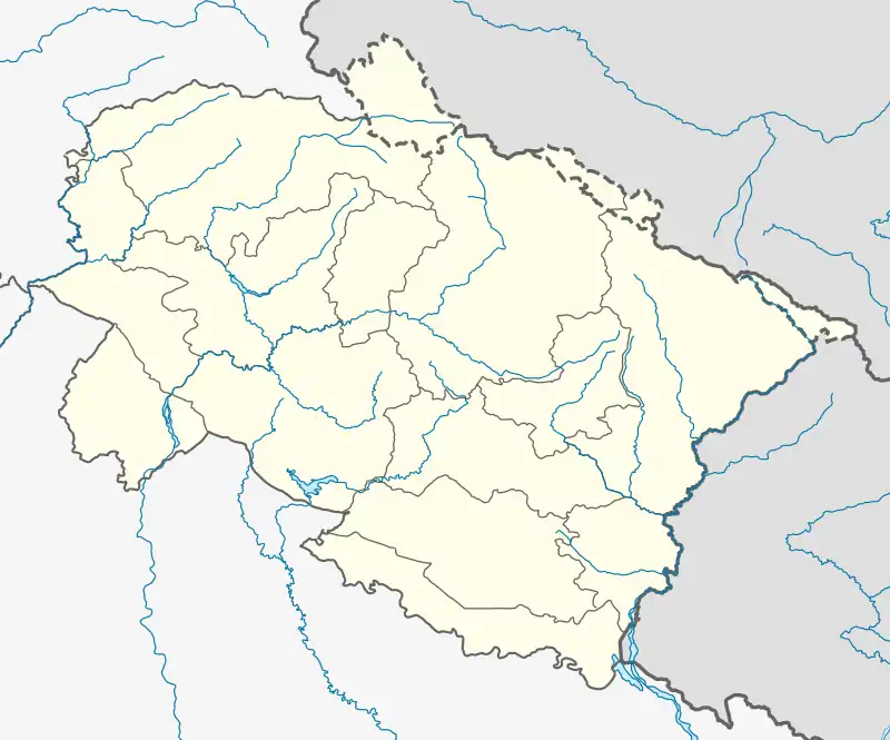 Location in Uttarakhand, India | |
| Coordinates: 29°13′55″N 79°12′57″E / 29.23207174525486°N 79.2157189896957°E | |
| Country | |
| State | Uttarakhand |
| District | Udham Singh Nagar district |
| Government | |
| • Body | None |
| Population | |
| • Total | 0[1] |
| Languages | |
| • Official | Hindi |
| Time zone | UTC+5:30 (IST) |
| ISO 3166 code | IN-UK |
| Vehicle registration | UK |
| Website | uk |
Ramnagar Range, is an inhabited census village in Bajpur, Udham Singh Nagar district in the state of Uttarakhand in India.[2]
Demographics
According to the 2011 Indian Census, the town has no people. The state of Uttarakhand has literacy rate of 87.6 percent which is higher than Nation's average of 74.04 percent.[3]
References
- ↑ "Census of India: Search Details".
- ↑ District Handbook Part-B, Census of India (2011)
- ↑ Census India. "District Handbook Part-A" (PDF). censusindia.gov.in. Census India. Retrieved 23 December 2021.
External links
This article is issued from Wikipedia. The text is licensed under Creative Commons - Attribution - Sharealike. Additional terms may apply for the media files.