Raton Municipal Airport Crews Field | |||||||||||||||
|---|---|---|---|---|---|---|---|---|---|---|---|---|---|---|---|
 | |||||||||||||||
| Summary | |||||||||||||||
| Airport type | Public | ||||||||||||||
| Owner | City of Raton | ||||||||||||||
| Serves | Raton, New Mexico | ||||||||||||||
| Elevation AMSL | 6,352 ft / 1,936 m | ||||||||||||||
| Coordinates | 36°44′30″N 104°30′08″W / 36.74167°N 104.50222°W | ||||||||||||||
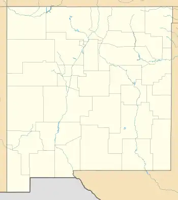
| Map | |||||||||||||||
 RTN | |||||||||||||||
| Runways | |||||||||||||||
| |||||||||||||||
| Statistics (2022) | |||||||||||||||
| |||||||||||||||
Raton Municipal Airport (IATA: RTN[2], ICAO: KRTN, FAA LID: RTN) (Crews Field) is 12 miles southwest of Raton, in Colfax County, New Mexico, United States.[1] The National Plan of Integrated Airport Systems for 2011–2015 called it a general aviation facility.[3][4]
Continental Airlines served Raton with Douglas DC-3's for about four years starting in 1949-50. Raton was one of several stops on their flights between Denver, Albuquerque and El Paso. Commuter carriers have also served Raton; Trans Central Airlines in 1969/1970 had a similar route to Continental's, S.I. Airways operated commuter flights to Denver and Amarillo in 1973 and 1974, and Territorial Airlines flew to Albuquerque via Las Vegas, NM, in 1990.[5]
Facilities
Raton Municipal Airport covers 1,280 acres (518 ha) at an elevation of 6,352 feet (1,936 m). It has two asphalt runways: 2/20 is 7,615 by 75 feet (2,321 x 23 m) and 7/25 is 4,425 by 75 feet (1,349 x 23 m).[1]
In the year ending April 22, 2022, the airport had 7,000 aircraft operations, average 134 per week: 83% general aviation, 11% military, and 6% air taxi. 16 aircraft were then based at this airport: all single-engine.[1]
Accidents and incidents
On January 17, 2018, a Bell UH-1H Iroquois helicopter crashed shortly after take-off from Raton while on a flight to Folsom, New Mexico. Five of the six people on board were killed. The survivor was seriously injured.[6]
References
- 1 2 3 4 FAA Airport Form 5010 for RTN PDF. Federal Aviation Administration. Effective October 5, 2023.
- ↑ "Airline and Airport Code Search". International Air Transport Association (IATA). Retrieved November 28, 2012.
- ↑ "2011–2015 NPIAS Report, Appendix A" (PDF). National Plan of Integrated Airport Systems. Federal Aviation Administration. 2010-10-04.
- ↑ "National Plan of Integrated Airport Systems (NPIAS) Report Airports". National Plan of Integrated Airport Systems. Federal Aviation Administration. 2010-10-04.
- ↑ Timetables from Continental, Trans Central, S. I. Airways, and Territorial Airlines
- ↑ "Zimbabwe opposition leader among 5 killed in Raton helicopter crash". KOAT. Retrieved January 19, 2018.
External links
- Aerial image as of October 1997 from USGS The National Map
- FAA Terminal Procedures for RTN, effective December 28, 2023
- Resources for this airport:
- FAA airport information for RTN
- AirNav airport information for KRTN
- ASN accident history for RTN
- FlightAware airport information and live flight tracker
- NOAA/NWS weather observations: current, past three days
- SkyVector aeronautical chart, Terminal Procedures