Ravnje
| |
|---|---|
 | |
 Ravnje  Ravnje  Ravnje | |
| Coordinates: 44°56′37″N 19°25′18″E / 44.94361°N 19.42167°E | |
| Country | |
| Province | |
| Region | Mačva |
| District | Srem |
| Municipality | Sremska Mitrovica |
| Population (2002) | |
| • Total | 1,463 |
| Time zone | UTC+1 (CET) |
| • Summer (DST) | UTC+2 (CEST) |
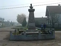
Monument to Zeka Buljubaša
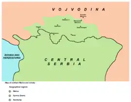
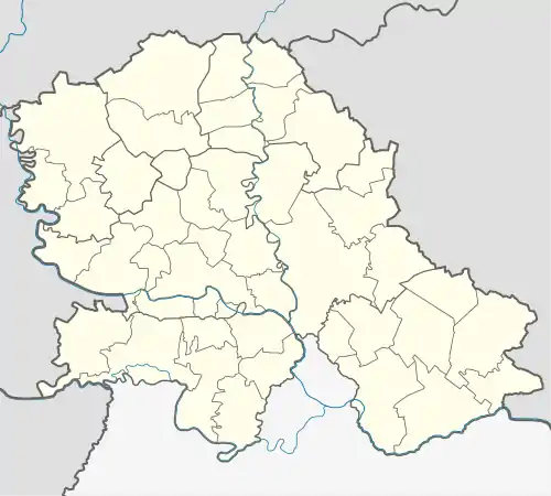
Location map of Ravnje and northern part of the Mačva region
Ravnje (Serbian: Равње) is a village in Serbia. It is located in the Sremska Mitrovica municipality, in the Srem District, Vojvodina province. The village has a Serb ethnic majority and its population numbering 1,413 people (2002 census). Although part of the Srem District, Ravnje is situated in the region of Mačva.
Historical population
- 1961: 1,856
- 1971: 1,745
- 1981: 1,692
- 1991: 1,587
See also
References
Wikimedia Commons has media related to Ravnje.
- Slobodan Ćurčić, Broj stanovnika Vojvodine, Novi Sad, 1996.
This article is issued from Wikipedia. The text is licensed under Creative Commons - Attribution - Sharealike. Additional terms may apply for the media files.