Razdrto | |
|---|---|
 | |
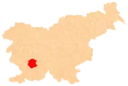
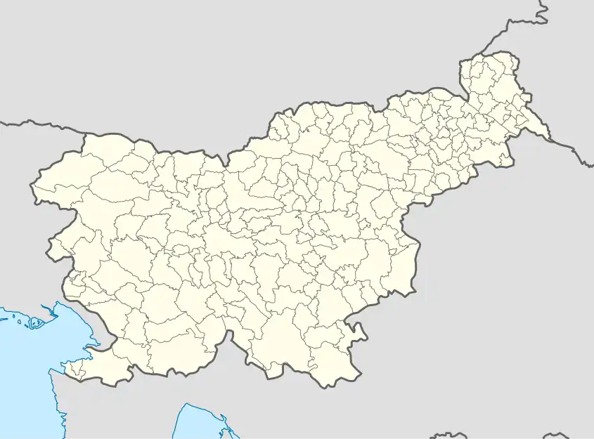 Razdrto Location in Slovenia | |
| Coordinates: 45°45′24.15″N 14°3′35.3″E / 45.7567083°N 14.059806°E | |
| Country | |
| Traditional region | Inner Carniola |
| Statistical region | Littoral–Inner Carniola |
| Municipality | Postojna |
| Area | |
| • Total | 5.39 km2 (2.08 sq mi) |
| Elevation | 573.9 m (1,882.9 ft) |
| Population (2002) | |
| • Total | 168 |
| [1] | |
Razdrto (pronounced [ɾaˈzdərtɔ]; German: Präwald, Italian: Resderta, Prevallo) is a village below and on the southern slopes of the Nanos Plateau in the Municipality of Postojna in the Inner Carniola region of Slovenia. It lies at a major interchange on the A1 motorway connecting Ljubljana to the Slovenian Littoral.[2]
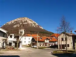
Church

Holy Trinity Church with the Nanos Plateau in the background
The local church in the settlement is dedicated to the Holy Trinity and belongs to the Parish of Ubeljsko.[3]
References
External links
 Media related to Razdrto at Wikimedia Commons
- Razdrto on Geopedia
| Settlements | Administrative seat: Postojna
|  |
|---|---|---|
| Landmarks |
| |
| Notable people |
| |
This article is issued from Wikipedia. The text is licensed under Creative Commons - Attribution - Sharealike. Additional terms may apply for the media files.