Ribno | |
|---|---|
 | |
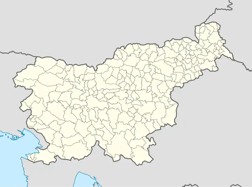 Ribno Location in Slovenia | |
| Coordinates: 46°21′4.79″N 14°7′24.53″E / 46.3513306°N 14.1234806°E | |
| Country | |
| Traditional Region | Upper Carniola |
| Statistical region | Upper Carniola |
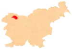
| Municipality | Bled |
| Elevation | 568.5 m (1,865.2 ft) |
| Population (2020) | |
| • Total | 612 |
| [1] | |
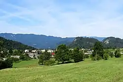
Ribno (pronounced [ˈɾiːbnɔ]) is a settlement in the Municipality of Bled in the Upper Carniola region of Slovenia.
Geography

The territory of Ribno extends from the village center north of the Sava Bohinjka River to the south. Its elevation ranges from a low of 417 meters (1,368 ft) along the river to a high of 1,265 meters (4,150 ft) at Black Peak (Slovene: Črni vrh) on the Jelovica Plateau. The Selca Pasture (Slovene: Selška planina or Selska planina), also known as the Selca–Kupljenik Pasture (Slovene: Selsko-kupljeniška planina), lies at the southernmost point in the settlement, below the southern slope of Black Peak.
Church
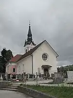
The parish church in the village is dedicated to Saint James. It was originally a Gothic church with some frescos remaining in the chancel, but it was greatly rebuilt and reconstructed in the late 19th century.[2]
References
- ↑ Statistical Office of the Republic of Slovenia Archived November 18, 2008, at the Wayback Machine
- ↑ Bled municipal site
External links
 Media related to Ribno at Wikimedia Commons
- Ribno on Geopedia
| Settlements | Administrative seat: Bled
|  Location of the Municipality of Bled in Slovenia | ||||
|---|---|---|---|---|---|---|
| Landmarks | ||||||