Richmond Municipal Airport | |||||||||||||||
|---|---|---|---|---|---|---|---|---|---|---|---|---|---|---|---|
| Summary | |||||||||||||||
| Airport type | Public | ||||||||||||||
| Owner | Richmond BOAC | ||||||||||||||
| Serves | Richmond, Indiana | ||||||||||||||
| Elevation AMSL | 1,140 ft / 347 m | ||||||||||||||
| Coordinates | 39°45′22″N 084°50′34″W / 39.75611°N 84.84278°W | ||||||||||||||
| Map | |||||||||||||||
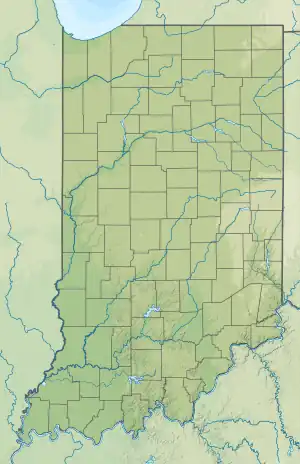
 RID  RID | |||||||||||||||
| Runways | |||||||||||||||
| |||||||||||||||
| Statistics (2009) | |||||||||||||||
| |||||||||||||||
Richmond Municipal Airport (IATA: RID[2], ICAO: KRID, FAA LID: RID) is six miles southeast of Richmond near Boston, in Wayne County, Indiana. It is owned by the Richmond Board of Aviation Commissioners.[1] The National Plan of Integrated Airport Systems for 2011–2015 called it a general aviation facility.
The first airline flights were TWA and Delta DC-3s in late 1947; Lake Central replaced them in 1950-51 and dropped Richmond in 1965.
Facilities
The airport covers 702 acres (284 ha) at an elevation of 1,140 feet (347 m). It has two asphalt runways: 6/24 is 5,500 by 150 feet (1,676 x 46 m) and 15/33 is 5,000 by 100 feet (1,524 x 30 m).[1]
In 2009 the airport had 19,896 aircraft operations, average 54 per day: 97% general aviation, 2% air taxi, and 1% military. 25 aircraft were then based at the airport: 76% single-engine, 16% helicopter, and 8% multi-engine.[1]
Accidents and incidents
- On February 11, 2019 a chartered Beech 400 corporate jet overran the runway and crossed a field and a road before coming to rest; the two crew and sole passenger were uninjured. The National Transportation Safety Board determined the aircraft touched down 3,200 feet down the 5,502 foot runway with snow on the runway surface and a tailwind. After the landing the pilots discovered the airport was closed at the time.[3]
See also
References
- 1 2 3 4 FAA Airport Form 5010 for RID PDF. Federal Aviation Administration. Effective May 31, 2012.
- ↑ "Airline and Airport Code Search". International Air Transport Association (IATA). Retrieved November 17, 2012.
- ↑ Emery, Mike (May 8, 2021). "NTSB final report blames pilots for 2019 incident at Richmond airport". Pal Item. Retrieved May 8, 2021.
External links
- Aerial image from Indiana DOT
- Aerial image as of March 1998 from USGS The National Map
- FAA Terminal Procedures for RID, effective December 28, 2023
- Resources for this airport:
- FAA airport information for RID
- AirNav airport information for KRID
- ASN accident history for RID
- FlightAware airport information and live flight tracker
- SkyVector aeronautical chart for KRID