| Rimpfischhorn | |
|---|---|
 The Rimpfischhorn from the Allalinhorn | |
| Highest point | |
| Elevation | 4,199 m (13,776 ft) |
| Prominence | 635 m (2,083 ft)[1] |
| Parent peak | Dom |
| Isolation | 4.7 km (2.9 mi) |
| Coordinates | 46°01′23″N 7°53′02″E / 46.02306°N 7.88389°E |
| Geography | |
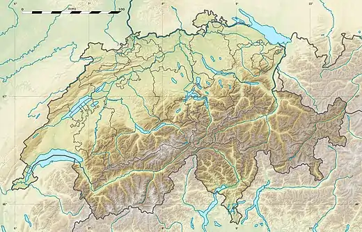 Rimpfischhorn Location in Switzerland | |
| Location | Valais, Switzerland |
| Parent range | Pennine Alps |
| Climbing | |
| First ascent | 9 September 1859 by Leslie Stephen and Robert Liveing with guides Melchior Anderegg and Johann Zumtaugwald |
| Easiest route | Allalin glacier/north-west ridge (PD); a snow climb. |
The Rimpfischhorn (4,199 m) is a mountain in the Pennine Alps of Switzerland.
The first ascent of the mountain was by Leslie Stephen and Robert Living with guides Melchior Anderegg and Johann Zumtaugwald on 9 September 1859. Their route of ascent was from Fluh Alp via the Rimpfischwänge.
See also
Wikimedia Commons has media related to Rimpfischhorn.
References
External links
This article is issued from Wikipedia. The text is licensed under Creative Commons - Attribution - Sharealike. Additional terms may apply for the media files.