.jpg.webp) Looking east across the site | |
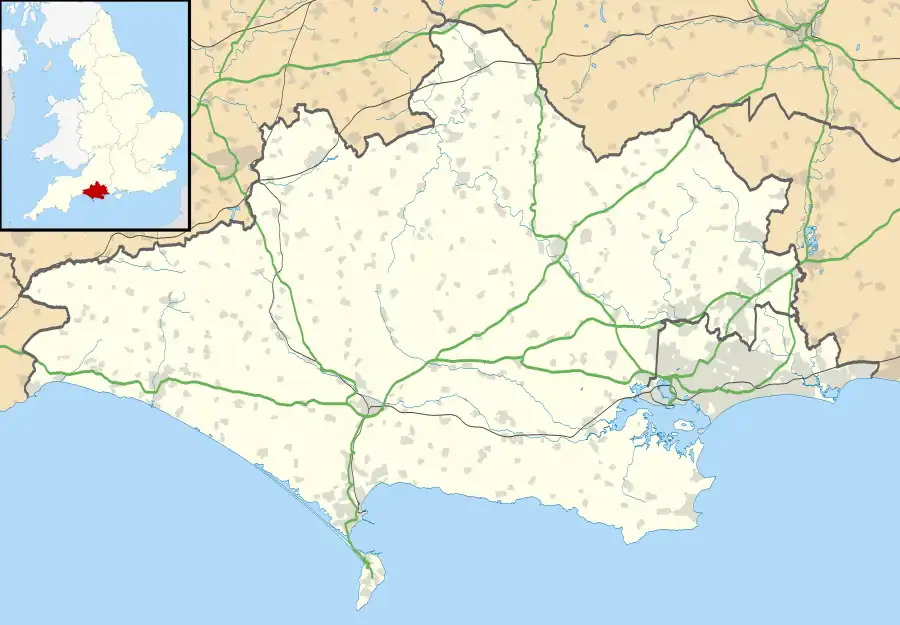
 Shown within Dorset | |
| Location | Near Turnworth, Dorset |
|---|---|
| Coordinates | 50°52′35″N 2°16′25″W / 50.87639°N 2.27361°W |
| OS grid reference | ST 808 086 |
| History | |
| Periods | Iron Age |
The Ringmoor settlement is an Iron Age/Romano-British farming settlement in Dorset, England. It is between the villages of Okeford Fitzpaine and Turnworth, and lies on east-facing slopes of Bell Hill, on the Dorset Downs.
The site is owned by the National Trust,[1] and is a Scheduled Ancient Monument.[2]
Earthworks
The site is well preserved in unploughed downland. There is a farmstead, an oval enclosure about 45 metres (148 ft) by 33 metres (108 ft), with an entrance on the east; inside are levelled areas, thought to be the sites of buildings. Outside the enclosure, trackways and field systems are still clearly visible as banks in the grassland.[2][3]
More recent occupation


Ringmoor Cottages, built in the mid 19th century, once stood on the site, but they were vacated and demolished in the early 1950s.[3]
References
- ↑ "Earthwork Remains of Turnworth Iron Age Settlement, Ringmoor" National Trust. Retrieved 29 June 2020.
- 1 2 Historic England. "Earthworks on Ringmoor (1002447)". National Heritage List for England. Retrieved 28 June 2020.
- 1 2 'Turnworth', in An Inventory of the Historical Monuments in Dorset, Volume 3, Central (London, 1970), pp. 290–292 British History Online. Retrieved 29 June 2020.