Riverside, New Mexico | |
|---|---|
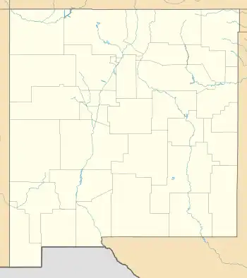
 Riverside Location within the state of New Mexico  Riverside Riverside (the United States) | |
| Coordinates: 32°50′10″N 104°18′38″W / 32.83611°N 104.31056°W | |
| Country | United States |
| State | New Mexico |
| List of counties in New Mexico | Eddy |
| Elevation | 3,332 ft (1,015 m) |
| Time zone | UTC-7 (MST) |
| • Summer (DST) | UTC-6 (MDT) |
| ZIP codes | 88210 |
| Area code | 575 |
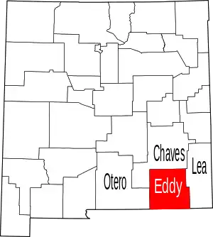
Riverside is an unincorporated community in Eddy County, New Mexico, in the southwestern United States.[1] It is located on the left bank (east side) of the Pecos River about five miles east of Artesia, New Mexico on U.S. Route 82 (Lovington Highway).[2] Riverside is in the Loco Hills Division of Eddy County.[3]
The community of Riverside grew up in the 1970s as a place for oil workers' mobile homes and oil field support.[1] It was almost abandoned in the early 1980s, but came back in the 1990s as oil prices rose. Mack Energy Corporation has its corporate offices in Riverside.[4]
References
- 1 2 Julyan, Robert (1998). "Riverside (Eddy County)". The Place Names of New Mexico (revised ed.). Albuquerque, New Mexico: University of New Mexico Press. p. 300. ISBN 0-8263-1689-1.
- ↑ Spring Lake Quadrangle, Eddy County, New Mexico (Map) (photorevised 1975 ed.). 1:24,000. 7.5 minutes series (topographic). United States Geological Survey. 1975.
- ↑ "Loco Hills Division, NM Boundary Map". NM Hometown locator. Archived from the original on June 30, 2014.
- ↑ "Mack Energy constructs new headquarters". Artesia News. May 6, 2010. Archived from the original on June 30, 2014.
This article is issued from Wikipedia. The text is licensed under Creative Commons - Attribution - Sharealike. Additional terms may apply for the media files.
