| Rivière des Rochers | |
|---|---|
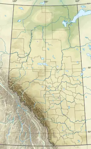
 Location of mouth within Alberta | |
| Location | |
| Country | Canada |
| Province | Alberta |
| Physical characteristics | |
| Source | Lake Athabasca |
| • location | Alberta, Canada |
| Mouth | Slave River |
• location | Alberta, Canada |
• coordinates | 58°58′53″N 111°24′13″W / 58.98139°N 111.40361°W |
Rivière des Rochers (French for "River of Rocks") is a river in Alberta in the Peace–Athabasca Delta and Wood Buffalo National Park. It is the main outflow of Lake Athabasca and flows northward, around many islands, and meets with the Peace River to form the Slave River. Near its mouth, the river splits into multiple channels, and forms a delta on the Slave River.[1] During high water level periods in the late spring and summer, the flow of the Rivière des Rochers can sometimes reverse, with water flowing from the Peace River system back into Lake Athabasca.[2][3]
References
- ↑ River.http://travelingluck.com/North+America/Canada/Alberta/_6123703_Rivi%C3%A8re+des+Rochers.html
- ↑ Mitchell, Patricia; Prepas, Ellie (1990). Atlas of Alberta lakes. Edmonton, AB: University of Alberta Press. p. 66. ISBN 9780888642141.
- ↑ Arthur C. Benke; Colbert E. Cushing (6 September 2011). Rivers of North America. Academic Press. pp. 820–. ISBN 978-0-08-045418-4.
This article is issued from Wikipedia. The text is licensed under Creative Commons - Attribution - Sharealike. Additional terms may apply for the media files.