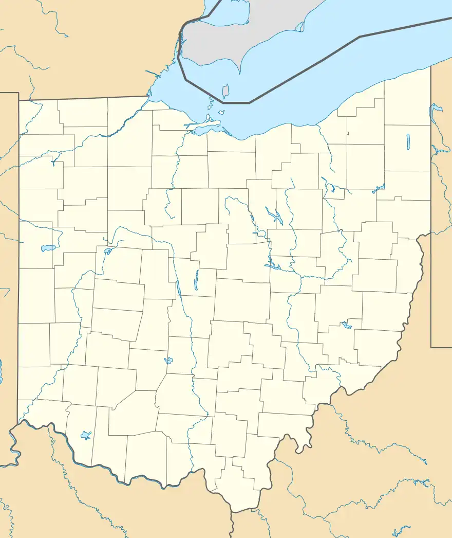
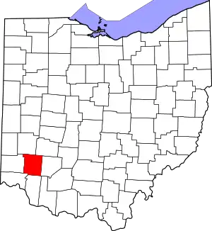
Roachester, Ohio | |
|---|---|
 Roachester, Ohio | |
| Coordinates: 39°21′24″N 84°05′49″W / 39.35667°N 84.09694°W | |
| Country | United States |
| State | Ohio |
| County | Warren |
| Area | |
| • Total | 1.31 sq mi (3.39 km2) |
| • Land | 1.31 sq mi (3.39 km2) |
| • Water | 0.00 sq mi (0.00 km2) |
| Elevation | 850 ft (260 m) |
| Population (2020) | |
| • Total | 579 |
| • Density | 442.32/sq mi (170.81/km2) |
| Time zone | UTC-5 (Eastern (EST)) |
| • Summer (DST) | UTC-4 (EDT) |
| Area code | 513 |
| GNIS feature ID | 1061613[2] |
Roachester is an unincorporated community in Warren County, Ohio, United States. Roachester is located at the junction of Ohio State Route 3 and Ohio State Route 123, 1.6 miles (2.6 km) east of Morrow.
Demographics
| Census | Pop. | Note | %± |
|---|---|---|---|
| 2020 | 579 | — | |
| U.S. Decennial Census[3] | |||
History
An early variant name was "Salem".[4] Roachester was platted in 1816, and named for James Roach, proprietor.[5] A post office called Rochester was established in 1825, and remained in operation until 1853.[6]
References
- ↑ "ArcGIS REST Services Directory". United States Census Bureau. Retrieved September 20, 2022.
- ↑ "Roachester". Geographic Names Information System. United States Geological Survey, United States Department of the Interior.
- ↑ "Census of Population and Housing". Census.gov. Retrieved June 4, 2016.
- ↑ "Warren County, Ohio Place Names". Warren County Genealogical Society. Archived from the original on March 13, 2018. Retrieved March 13, 2018.
{{cite web}}: CS1 maint: bot: original URL status unknown (link) - ↑ The History of Warren County, Ohio: Containing a History of the County ; Its Townships, Towns ; General and Local Statistics. W.H. Beers & Company. 1882. p. 667.
- ↑ "Warren County". Jim Forte Postal History. Retrieved January 17, 2016.
This article is issued from Wikipedia. The text is licensed under Creative Commons - Attribution - Sharealike. Additional terms may apply for the media files.
