Robbins Crossroads, Alabama | |
|---|---|
 Robbins Crossroads  Robbins Crossroads | |
| Coordinates: 33°44′04″N 86°59′44″W / 33.73444°N 86.99556°W | |
| Country | United States |
| State | Alabama |
| County | Jefferson |
| Elevation | 364 ft (111 m) |
| Time zone | UTC−6 (Central (CST)) |
| • Summer (DST) | UTC−5 (CDT) |
| Area code(s) | 205, 659 |
| GNIS feature ID | 153166[1] |
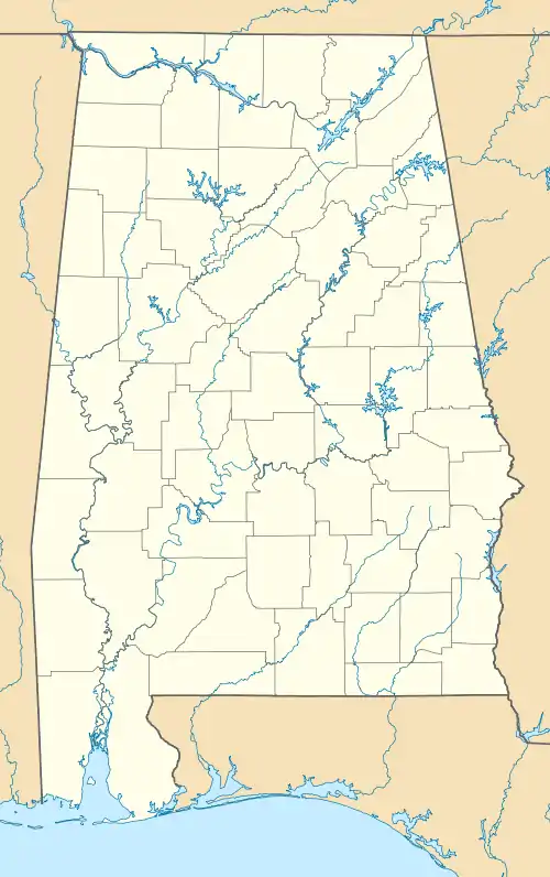
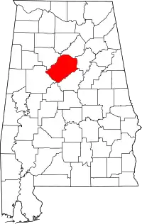
Robbins Crossroads, also known as Robbins, is an unincorporated community in Jefferson County, Alabama, United States.
History
The community is named for the Robbins family, who moved to the area from Pendleton District, South Carolina.[2] At one time, Robbins Crossroads was home to a grist mill, cotton gin, saw mill, general store, and saloon.[3]
A post office operated under the name Robbins Crossroads from 1873 to 1896.[4]
References
- ↑ "Robbins Crossroads". Geographic Names Information System. United States Geological Survey, United States Department of the Interior.
- ↑ Joel Campbell DuBose (1904). Notable Men of Alabama: Personal and Genealogical. Southern historical assoc. p. 119.
- ↑ Causey, Donna. "Robbins Crossroads – some of the earliest citizens of Jefferson county, Alabama settled here". Alabama Pioneers. Retrieved April 2, 2020.
- ↑ "Jefferson County". Jim Forte Postal History. Retrieved April 2, 2020.
This article is issued from Wikipedia. The text is licensed under Creative Commons - Attribution - Sharealike. Additional terms may apply for the media files.
