| Rohri Hills | |
|---|---|
| Geography | |
| Location | Sindh, Pakistan |
| Range coordinates | 27°27′18″N 68°55′53″E / 27.45500°N 68.93139°E |
| Geology | |
| Age of rock | Middle Eocene / Early Oligocene[1] |
| Mountain type | Sedimentary |
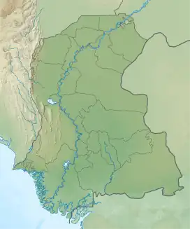
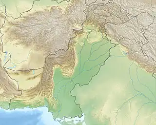
The Rohri Hills in Upper Sindh, Pakistan are scarped rocks of limestone running southeast of Rohri between the Indus river in the west and the Nara river in the east. The hills are about 40 kilometres (25 miles) long and 16 kilometres (9.9 miles) wide.[2] These hills are home to a large number of archaeological sites. Flint artifacts of the Paleolithic period have been discovered here.[3]
See also
References
- ↑ Biagi, Paolo; Cremaschi, Mauro (1 January 1988). "The Early Palaeolithic Sites of the Rohri Hills (Sind, Pakistan) and Their Environmental Significance". World Archaeology. 19 (3): 421–433. doi:10.1080/00438243.1988.9980049. JSTOR 124609.
- ↑ Selin, Helaine (2008). Encyclopaedia of the History of Science, Technology, and Medicine in Non-Western Cultures. Springer Science & Business Media. p. 1857. ISBN 9781402045592. Retrieved 30 April 2017.
- ↑ Ahmed, Mukhtar (2014-05-29). Ancient Pakistan - An Archaeological History: Volume I: The Stone Age. Amazon. p. 321. ISBN 9781495490477. Retrieved 30 April 2017.
This article is issued from Wikipedia. The text is licensed under Creative Commons - Attribution - Sharealike. Additional terms may apply for the media files.

