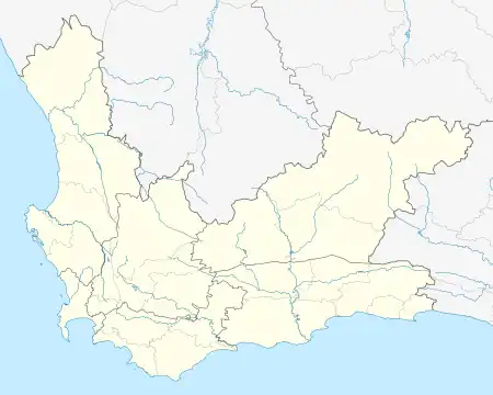
Romansrivier
Dwarsrivier | |
|---|---|
 Romansrivier  Romansrivier | |
| Coordinates: 33°28′08″S 19°12′51″E / 33.46889°S 19.21417°E | |
| Country | South Africa |
| Province | Western Cape |
| District | Cape Winelands |
| Municipality | Witzenberg |
| Area | |
| • Total | 0.09 km2 (0.03 sq mi) |
| Elevation | 460 m (1,510 ft) |
| Population (2001)[1] | |
| • Total | 506 |
| • Density | 5,600/km2 (15,000/sq mi) |
| Time zone | UTC+2 (SAST) |
| Postal code (street) | 0812 |
| PO box | 0812 |
Romansrivier,[2] in Ward 2 Dwarsrivier,[3] is a settlement in Witzenberg Local Municipality, Cape Winelands District Municipality, Western Cape province, South Africa. It is in the upper Breede River Valley region. Rte. 43 (Michell's Pass Road) runs north-south past the settlement. The Romanrivier railway station is located just south of the settlement. The Witteberg Nature Reserve is just east of the settlement.
History
When the Dutch arrived in the Dwarsrivier area it was inhabited by the San people (Bushmen). Dutch "Free Burghers" (vryburgers) first settled there in 1687.[4]
Notes and references
- 1 2 "Sub Place Dwarsrivier #10611001". Census 2001.
- ↑ Romansrivier (Approved - N) at GEOnet Names Server, United States National Geospatial-Intelligence Agency
- ↑ "Witzenberg Overview Map". Municipal Demarcation Board. Archived from the original on 14 October 2018.
- ↑ "History of the Dwarsrivier River Valley". Dwarsrivier Valley Tourism. Archived from the original on 13 October 2018.
External links
- "About Dwarsrivier". Dwarsrivier Valley Tourism.
This article is issued from Wikipedia. The text is licensed under Creative Commons - Attribution - Sharealike. Additional terms may apply for the media files.
.svg.png.webp)