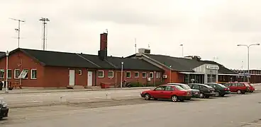
Ronneby Airport | |||||||||||
|---|---|---|---|---|---|---|---|---|---|---|---|
 | |||||||||||
| Summary | |||||||||||
| Airport type | Military/Public (Luftfartsverket) | ||||||||||
| Operator | Swedavia | ||||||||||
| Location | Ronneby, Sweden | ||||||||||
| Elevation AMSL | 191 ft / 58 m | ||||||||||
| Coordinates | 56°16′00″N 15°15′54″E / 56.26667°N 15.26500°E | ||||||||||
| Website | www.swedavia.com/ronneby/ | ||||||||||
| Map | |||||||||||
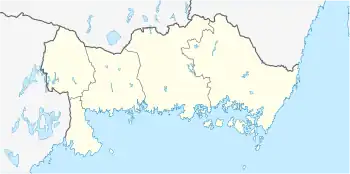 RNB Location of airport in Blekinge | |||||||||||
| Runways | |||||||||||
| |||||||||||
| Statistics (2016) | |||||||||||
| |||||||||||
Statistics: Swedavia[1] | |||||||||||
Ronneby Airport (Kallinge) (IATA: RNB, ICAO: ESDF) is located about 4 km (2.5 mi) from Ronneby, Sweden and 30 km (17 mi) from Karlshamn and 30 km (17 mi) from Karlskrona.
Ronneby airport is south Sweden's (Götaland) 6th biggest airport and the 15th biggest airport in Sweden. The airport had 226,995 passengers in 2011.[1]
Airlines and destinations
The following airlines operate regular scheduled and charter flights at Ronneby Airport:
| Airlines | Destinations |
|---|---|
| BRA Braathens Regional Airlines | Stockholm–Bromma[2] |
| Scandinavian Airlines | Stockholm–Arlanda[2] |
Statistics
Annual passenger traffic at RNB airport.
See Wikidata query.
See also
References
- 1 2 "Statistics". Swedavia. Archived from the original on 17 March 2012. Retrieved 17 March 2012.
- 1 2 swedavia.com/ronneby retrieved 29 May 2022
External links
This article is issued from Wikipedia. The text is licensed under Creative Commons - Attribution - Sharealike. Additional terms may apply for the media files.