Rosulje | |
|---|---|
Village | |
 Rosulje | |
| Coordinates: 43°59′33″N 17°31′34″E / 43.99250°N 17.52611°E[1] | |
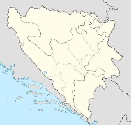
| Country | |
| Entity | Federation of Bosnia and Herzegovina |
| Canton | |
| Municipality | |
| Area | |
| • Total | 0.69 sq mi (1.79 km2) |
| Elevation | 2,300 ft (700 m) |
| Population (2013) | |
| • Total | 40 |
| • Density | 58/sq mi (22/km2) |
| Time zone | UTC+1 (CET) |
| • Summer (DST) | UTC+2 (CEST) |
Rosulje is a village in the municipality of Gornji Vakuf, Bosnia and Herzegovina.[2] Rosulje a is located at about 700 meters above sea level, on slightly sloping slopes above the Vrbas valley.
Demographics
According to the 2013 census, its population was 40, all Croats.[3]
References
- ↑ Rosulje, Bosnia & Herzegovina Page Falling Rain Software, Ltd.
- ↑ Official results from the book: Ethnic composition of Bosnia-Herzegovina population, by municipalities and settlements, 1991. census, Zavod za statistiku Bosne i Hercegovine - Bilten no.234, Sarajevo 1991.
- ↑ "Naseljena Mjesta 1991/2013" (in Bosnian). Statistical Office of Bosnia and Herzegovina. Retrieved November 13, 2021.
This article is issued from Wikipedia. The text is licensed under Creative Commons - Attribution - Sharealike. Additional terms may apply for the media files.