Roulia | |
|---|---|
Village | |
| Rolia Sharif رولیہ شریف | |
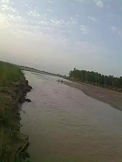 Nala Bhandar river outside the village | |
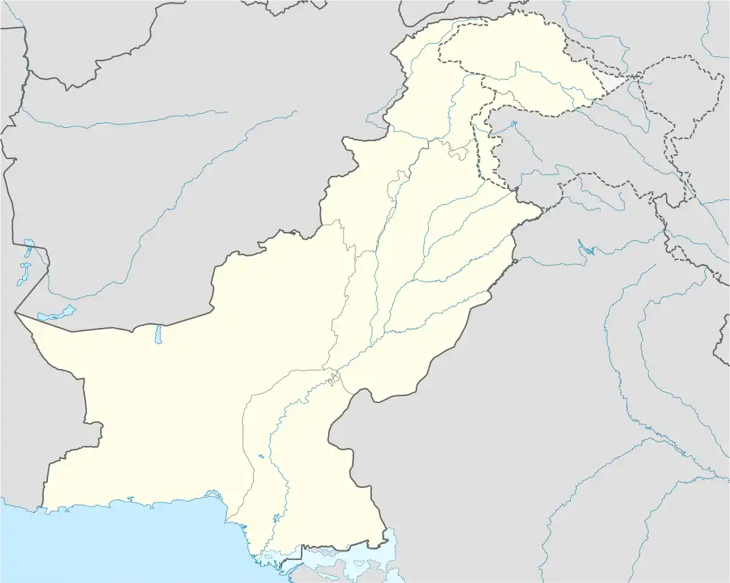 Roulia Location in Pakistan | |
| Coordinates: 32°47′50″N 74°03′50″E / 32.79722°N 74.06389°E | |
| Country | |
| Province | Punjab |
| Division | Gujrat |
| District | Gujrat |
| Tehsil | Kharian |
| Area | |
| • Total | 2.70 km2 (1.04 sq mi) |
| Elevation | 270 m (890 ft) |
| Population (1998)100% Sunni Muslims | |
| • Total | 17,915 |
| Time zone | UTC+5 (PST) |
| Calling code | 053 |
Rolia رولیا is a village in Sabour Union Council of Gujrat District and tehsil kharian in the Punjab province of Pakistan. It is situated on the Bhimber Road, 31 kilometres (19 mi) away from Gujrat and 21 kilometres (13 mi) from Bhimber. Sabour and Banian are neighbouring villages.
Geography
Geographically, Roulia is situated on a plain. It is situated between Sabour and Banian Villages alongside Bhimber Road. The Nala Bhandar river flows on the eastern side of the village. Alongside Nala Bhandar there is a small dense forest called Balee. Bhimber Road bisects the village into two halves; on the western side Ladian village is situated, in North Sabour Village is located and in South Banian Village is located.
References[1][2]
- ↑ "Map, of Roulia, & Nearby villages". www.fallingrain.com. Retrieved 26 December 2023.
- ↑ "Rolia, Gujrat, Punjab - Pakistan : 50931". pak.postcodebase.com. Retrieved 26 December 2023.
This article is issued from Wikipedia. The text is licensed under Creative Commons - Attribution - Sharealike. Additional terms may apply for the media files.