Yarra Scenic Drive | |
|---|---|
 Southwest end Northeast end | |
| Coordinates |
|
| General information | |
| Type | Road |
| Length | 60.1 km (37 mi)[1] |
| Opened | 1989 |
| Route number(s) | |
| Former route number | (Docklands–Eaglemont) |
| Major junctions | |
| Southwest end | Battery Road Williamstown, Melbourne |
| |
| Northeast end | Warrandyte, Melbourne |
| Location(s) | |
| Major suburbs | Newport, Yarraville, Melbourne, Southbank, South Yarra, Burnley, Kew, Ivanhoe, Bulleen, Templestowe |
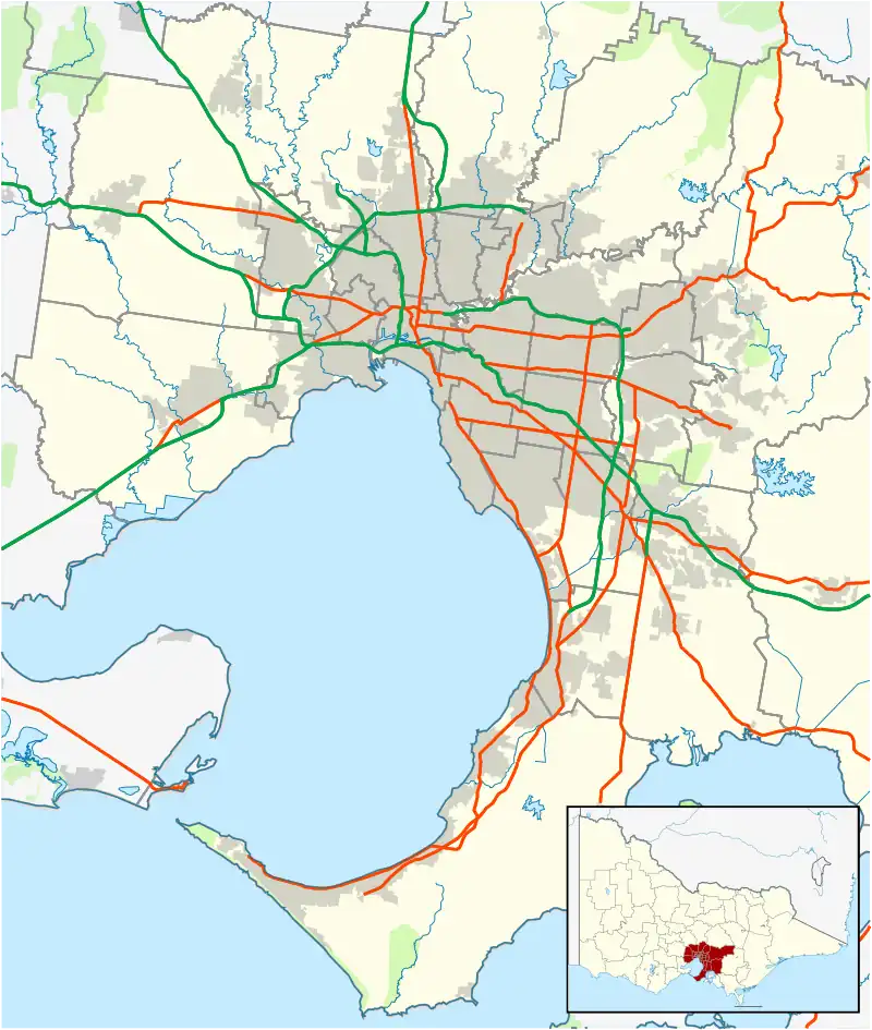
Yarra Scenic Drive is a tourist drive following the Yarra River, in Victoria, Australia. The route traverses approximately 60 km from Williamstown – where the Yarra empties into Port Phillip Bay – to Warrandyte – Melbourne's first goldfield site on the banks of the Yarra.
Route
Warrandyte to Bulleen
Through these outer north-eastern suburbs, the route winds near to the Yarra River, but rarely can the driver see the river itself. The roads do, however, pass by a number of Yarraside parks, including Pound Bend, Westerfolds Park, Finns Reserve, Birrarung Park and Banksia Park, which are all well-liked serene picnic locations with a view of the outer-suburban Yarra River, where it is still safe to swim and canoe.
Heidelberg to Alphington
There is little in the way of a Yarra view along this section of the drive. The best Yarra vantage point is found alongside the Boulevarde, but there are many stores and some industry through these middle-northern suburbs.
Yarra Boulevard, Kew
A winding but road on the edge of a hill which provides a marvellous view of both the Yarra and the inner suburbs. It also runs alongside several golf courses.
Burnley to Southbank
For most of this section, the road runs directly alongside the Yarra River after it widens past Dights Falls, with a clean view of the bridges and surroundings. Alexandra Avenue also provides access to the Royal Botanic Gardens and Birrarung Marr. Alexandra Avenue, however, is an important thoroughfare in inner-eastern Melbourne, and so traffic can often be unpleasant.
City
Route 2 briefly takes in the CBD, driving directly past Crown Casino and the Melbourne Aquarium.
West Gate Bridge
The famous West Gate Bridge spans the Yarra at its widest, and gives a panoramic view of the city, the docks, the industrial western suburbs, and Port Phillip Bay. Traffic is chaotic during peak hour.
Yarraville to Williamstown
This is a drive along the inner-western beachfront to the end of the mini-peninsula at Williamstown, finishing the route alongside a scenery of blue skies, yellow sand and marinas - a far cry from the leafy green beginnings of Warrandyte. This section coincides with the newer Bay West Trail, signed as Tourist Route 11.
History

The drive was originally signed as Metropolitan Route 2 in 1965, and was signed accordingly with the standard blue and white curved shield signs. When the route was extended from Ivanhoe East to Warrandyte, it was re-signed using the brown five-sided shield in 1989, usually shown in the centre of a small green and white sign bearing the words Yarra Scenic Drive.[2]
Major intersections
| LGA | Location[1] | km[1] | mi | Destinations | Notes |
|---|---|---|---|---|---|
| Hobsons Bay | Williamstown | 0.0 | 0.0 | Battery Road – Williamstown | Southwestern terminus of tourist route, Battery Road continues west |
| 1.4 | 0.87 | Ferguson Street, to | Northern end of Nelson Place, southern end of The Strand | ||
| Newport | 3.2 | 2.0 | The Strand – Newport | Eastern end of North Road, road continues north as The Strand | |
| 3.5 | 2.2 | North Road (west) – Newport | Southern terminus of concurrency with Metro Route 35 | ||
| Hobsons Bay–Maribyrnong border | Spotswood–Yarraville border | 6.1 | 3.8 | Hyde Street (north) – Footscray | Northern terminus of concurrency with Metro Route 35 |
| Maribyrnong | Yarraville | 6.8 | 4.2 | Werribee railway line | |
| 7.3 | 4.5 | Francis Street (west) – Brooklyn | Northern terminus of concurrency with Metro Route 37 | ||
| Maribyrnong–Hobsons Bay border | Yarraville–Spotswood border | 7.9 | 4.9 | Southern terminus of concurrency with Metro Route 35 Western terminus of concurrency with route M1 | |
| Hobsons Bay | Spotswood | 8.4 | 5.2 | Werribee railway line | |
| Yarra River | 8.5– 11.0 | 5.3– 6.8 | West Gate Bridge | ||
| Melbourne | Port Melbourne | 11.5 | 7.1 | Todd Road/Cook Street – Fishermans Bend | Westbound exit part of local lanes containing exit to Citylink |
| 12.6 | 7.8 | Trumpet interchange with local-express lanes; westbound exit on local lanes | |||
| Docklands | 14.1 | 8.8 | Eastern terminus of concurrency with route M1 Western terminus of concurrency with Metro Routes 30/55 Southern end of Wurundjeri Way | ||
| Yarra River | 14.3 | 8.9 | Charles Grimes Bridge | ||
| Melbourne | Docklands | 14.4 | 8.9 | Harbour Esplanade – Docklands | Northbound exit only |
| 14.8 | 9.2 | Eastern terminus of concurrency with Metro Route 55 Western end of Flinders Street | |||
| Docklands–Melbourne CBD border | 15.1 | 9.4 | Eastern terminus of concurrency with Metro Route 30 Northern terminus of concurrency with Metro Route 50 | ||
| Yarra River | 15.3 | 9.5 | Spencer Street Bridge | ||
| Melbourne | Southbank | 15.9 | 9.9 | Clarendon Street (south) – South Melbourne | Eastern terminus of Metro Route 50 Western terminus of concurrency with Metro Route 20 |
| 16.1 | 10.0 | Queensbridge Street – City | |||
| 16.5 | 10.3 | Power Street, to | |||
| Melbourne | 17.9 | 11.1 | No right turn northbound into Olympic Boulevard Eastern terminus of concurrency with Metro Route 20 | ||
| Stonnington | South Yarra | 20.0 | 12.4 | ||
| 20.6 | 12.8 | Sandringham, Frankston and Pakenham railway lines | |||
| South Yarra–Toorak border | 21.8 | 13.5 | Southern terminus of concurrency with Metro Route 25 | ||
| 22.2 | 13.8 | Alexandra Avenue (west) – South Yarra | Northern end of Williams Road | ||
| Toorak | 23.0 | 14.3 | St Georges Road (east) – Toorak | Eastern terminus of Metro Route 25 Eastern end of Alexandra Avenue Southern terminus of concurrency with Metro Route 21 | |
| Yarra River | 23.1 | 14.4 | MacRobertson Bridge | ||
| Yarra | Burnley | 23.2 | 14.4 | Twickenham Cresent (west) – Burnley | Northern terminus of concurrency with Metro Route 21 Western end of Yarra Boulevard |
| 23.3 | 14.5 | Eastbound entrance and westbound exit only | |||
| 24.0 | 14.9 | Glen Waverley railway line | |||
| 25.8 | 16.0 | Yarra Boulevard Link, to | |||
| 26.2 | 16.3 | Lilydale and Belgrave railway lines | |||
| Richmond | 26.9 | 16.7 | Western terminus of concurrency with Metro Route 30 | ||
| Yarra River | 27.0 | 16.8 | Hawthorn Bridge | ||
| Boroondara | Hawthorn | 27.1 | 16.8 | Eastern terminus of concurrency with Metro Route 30 Southern terminus of concurrency with Metro Route 36 Eastern end of Bridge Road, southern end of Church Street | |
| Hawthorn–Kew border | 28.0 | 17.4 | Southern end of Church Street, northern end of High Street | ||
| Kew | 28.8 | 17.9 | Northern terminus of concurrency with Metro Route 36 Eastern terminus of concurrency with Metro Route 34 Eastern end of Studley Park Road | ||
| 30.5 | 19.0 | Western terminus of concurrency with Metro Route 34 Northern end of Walmer Street | |||
| 30.8 | 19.1 | Walmer Street (south) – Kew McEvoy Street (east) – Kew | Southern end of Yarra Boulevard | ||
| 37.4 | 23.2 | Southern terminus of concurrency with Metro Route 21 Northern end of Yarra Boulevard | |||
| Yarra River | 37.5 | 23.3 | Chandler Bridge | ||
| Yarra–Darebin border | Alphington | 38.1 | 23.7 | Southern terminus of concurrency with Metro Route 21 Western terminus of concurrency with Metro Route 46 | |
| Banyule | Ivanhoe | 40.7 | 25.3 | Eastern terminus of concurrency with Metro Route 46 Western end of The Boulevard | |
| Ivanhoe East | 42.5 | 26.4 | Southern terminus of concurrency with Metro Route 17 Eastern end of The Boulevard | ||
| Ivanhoe East–Eaglemont border | 43.5 | 27.0 | Maltravers Road (west) – Eaglemont | Northern terminus of Metro Route 17 Southern terminus of concurrency with Metro Route 44 | |
| Eaglemont–Heidelberg border | 44.8 | 27.8 | Northern terminus of concurrency with Metro Route 44 Western terminus of concurrency with Metro Route 40 | ||
| Yarra River | 45.5 | 28.3 | Banksia Street Bridge | ||
| Manningham | Bulleen | 45.9 | 28.5 | Eastern terminus of concurrency with Metro Route 40 Western end of Bridge Street | |
| 46.1 | 28.6 | Western terminus of concurrency with Metro Route 52 Eastern end of Bridge Street, western end of Templestowe Road | |||
| Templestowe Lower | 48.9 | 30.4 | Eastern terminus of concurrency with Metro Route 52 Eastern end of Templestowe Road, southern end of Union Street | ||
| Templestowe | 51.3 | 31.9 | Western terminus of concurrency with Metro Route 42 | ||
| Templestowe–Doncaster East border | 54.5 | 33.9 | Blackburn Road – Blackburn, Burwood East, Notting Hill | ||
| Doncaster East | 55.2 | 34.3 | |||
| Warrandyte | 60.1 | 37.3 | Northeastern terminus of tourist route Eastern terminus of concurrency with Metro Route 42 | ||
1.000 mi = 1.609 km; 1.000 km = 0.621 mi
| |||||
References
- 1 2 3 Google (24 November 2021). "Yarra Scenic Drive" (Map). Google Maps. Google. Retrieved 24 November 2021.
- ↑ "Road Construction Authority of Victoria. Annual Report for the year ended 30 June 1989". Road Construction Authority of Victoria. Melbourne: Victorian Government Library Service. 24 September 1989. pp. 20–1.