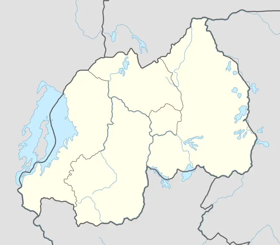
Rwezamenyo | |
|---|---|
 Location in Rwanda | |
| Coordinates: 1°58′7″S 30°3′20″E / 1.96861°S 30.05556°E | |
| Country | |
| Province | Kigali Province |
| District | Nyarugenge |
| Area | |
| • Total | 2.66 km2 (1.027 sq mi) |
| • Land | 1.027 km2 (0.397 sq mi) |
| Population (2022 census) | |
| • Total | 14,754 |
| • Density | 5,500/km2 (14,000/sq mi) |
| (2022 census) | |
| Time zone | UTC+2 (CAT) |
| • Summer (DST) | UTC+2 (not observed) |
Rwezamenyo is a sector (umurenge) in the Kigali Province, Nyarugenge district, Rwanda. It is located in the southwest part of the city of Kigali.
Demographics
In 2012, Its population was 16,763 inhabitants.
According to the 2022 census, the sector had a total population of 14,754 inhabitants. These are its Gender demographics:[1]
- Males 7,556
- Females 7,198
The Rwanda Environment Management Authority hypothesised that the high male-to-female ratio was due to a tendency for men to migrate to the city in search of work outside the agricultural sector, while their wives remained in a rural home.[2]
As of 2022 it had a 100% Urban rate. It is quite young with 24.1% of the population is under 15 and 73.3% of the population being younger than 65, and older than 14. Only 2.6% of the population is older than 64.[3]
Sectors
Nyarugenge district is divided into 10 sectors (imirenge): Gitega, Kanyinya, Kigali, Kimisagara, Mageragere, Muhima, Nyakabanda, Nyamirambo, Nyarugenge, and Rwezamenyo.[4]
References
- ↑ "Rwezamenyo (Sector, Rwanda) - Population Statistics, Charts, Map and Location". citypopulation.de. Retrieved 2023-12-23.
- ↑ "na.unep.net" (PDF).
- ↑ "Rwezamenyo (Sector, Rwanda) - Population Statistics, Charts, Map and Location". citypopulation.de. Retrieved 2023-12-23.
- ↑ "nyarugenge.gow.rw".