São João de Tarouca | |
|---|---|
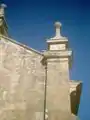
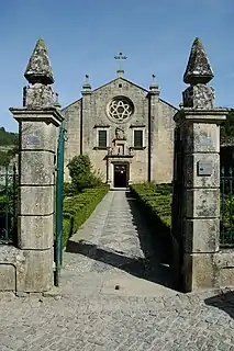 Monastery in São João de Tarouca | |
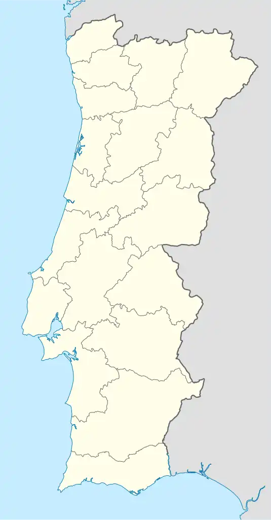 São João de Tarouca Location in Portugal | |
| Coordinates: 40°59′00″N 7°44′00″W / 40.983333°N 7.733333°W | |
| Country | |
| Region | Norte |
| Intermunic. comm. | Douro |
| District | Viseu |
| Municipality | Tarouca |
| Area | |
| • Total | 22.46 km2 (8.67 sq mi) |
| Population (2011) | |
| • Total | 606 |
| • Density | 27/km2 (70/sq mi) |
| Time zone | UTC±00:00 (WET) |
| • Summer (DST) | UTC+01:00 (WEST) |
São João de Tarouca is a civil parish in the municipality of Tarouca, Portugal.[1][2] The population in 2011 was 606 and population density was 27 inhabitants per square kilometre,[3] in an area of 22.46 km2.[4]
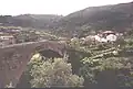
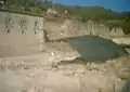
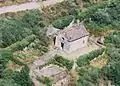
Gallery
References
- ↑ "Mosteiro de São João de Tarouca". Direção Regional de Cultura do Norte.
- ↑ "São João de Tarouca". www.geonames.org.
- ↑ Instituto Nacional de Estatística (INE), Census 2011 results according to the 2013 administrative division of Portugal
- ↑ "Áreas das freguesias, concelhos, distritos e país". Archived from the original on 2018-11-05. Retrieved 2018-11-05.
This article is issued from Wikipedia. The text is licensed under Creative Commons - Attribution - Sharealike. Additional terms may apply for the media files.