São Paio de Oleiros | |
|---|---|
 Flag  Coat of arms | |
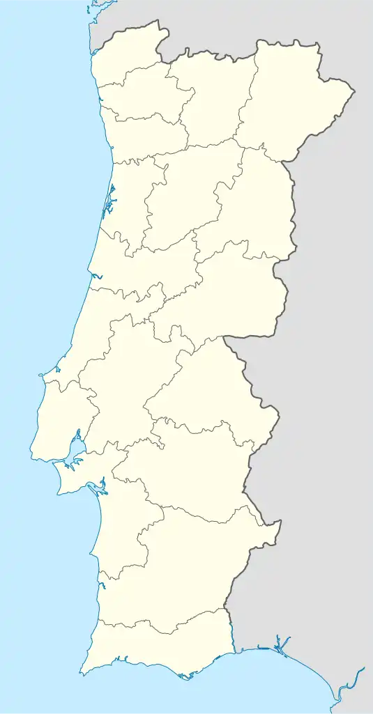 São Paio de Oleiros Location in Portugal | |
| Coordinates: 40°59′24″N 8°35′35″W / 40.990°N 8.593°W | |
| Country | |
| Region | Norte |
| Metropolitan area | Porto |
| District | Aveiro |
| Municipality | Santa Maria da Feira |
| Area | |
| • Total | 3.91 km2 (1.51 sq mi) |
| Population (2011) | |
| • Total | 4,069 |
| • Density | 1,000/km2 (2,700/sq mi) |
| Time zone | UTC±00:00 (WET) |
| • Summer (DST) | UTC+01:00 (WEST) |
São Paio de Oleiros (Portuguese pronunciation: [sɐ̃w ˈpaju ðoˈlɐjɾuʃ]) is a Portuguese parish, located in the town of Santa Maria da Feira. The population in 2011 was 4,069,[1] in an area of 3.91 km2.[2]
The only hospital of the town of Santa Maria da Feira was once located in São Paio de Oleiros, after the opening of a bigger hospital in municipality, Feira, in the late 1990s, the hospital of São Paio de Oleiros was closed.
São Paio de Oleiros is known for its cork industries.
Culture
- São Paio de Oleiros public library.
- Grupo Musical de São Paio de Oleiros
- "Associação Musical Oleirense" (AMO).
Sport
The three main sport institutions are:
References
This article is issued from Wikipedia. The text is licensed under Creative Commons - Attribution - Sharealike. Additional terms may apply for the media files.