Süderholz | |
|---|---|
Location of Süderholz within Vorpommern-Rügen district  | |
 Süderholz 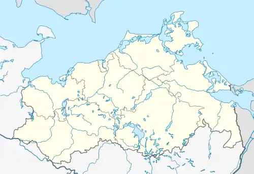 Süderholz | |
| Coordinates: 54°05′N 13°08′E / 54.083°N 13.133°E | |
| Country | Germany |
| State | Mecklenburg-Vorpommern |
| District | Vorpommern-Rügen |
| Government | |
| • Mayor | Alexander Benkert |
| Area | |
| • Total | 148.96 km2 (57.51 sq mi) |
| Elevation | 10 m (30 ft) |
| Population (2021-12-31)[1] | |
| • Total | 4,061 |
| • Density | 27/km2 (71/sq mi) |
| Time zone | UTC+01:00 (CET) |
| • Summer (DST) | UTC+02:00 (CEST) |
| Postal codes | 18516 |
| Dialling codes | 038331 |
| Vehicle registration | NVP |
| Website | www.suderholz.de |
Süderholz is a municipality in the Vorpommern-Rügen district, in Mecklenburg-Vorpommern, Germany. It was created as a merger from several municipalities on 1 January 1999 (indicated in italics) and comprises the following villages:
|
|
|
|

Chapel in Griebenow
References
- ↑ "Bevölkerungsstand der Kreise, Ämter und Gemeinden 2021" (XLS) (in German). Statistisches Amt Mecklenburg-Vorpommern. 2022.
Wikimedia Commons has media related to Süderholz.
This article is issued from Wikipedia. The text is licensed under Creative Commons - Attribution - Sharealike. Additional terms may apply for the media files.