Słupcza | |
|---|---|
Village | |
 Wayside shrine in Słupcza | |
 Słupcza 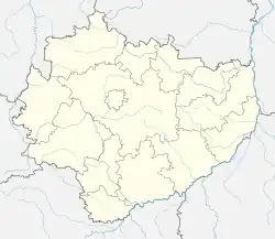 Słupcza | |
| Coordinates: 50°45′19″N 21°48′39″E / 50.75528°N 21.81083°E | |
| Country | |
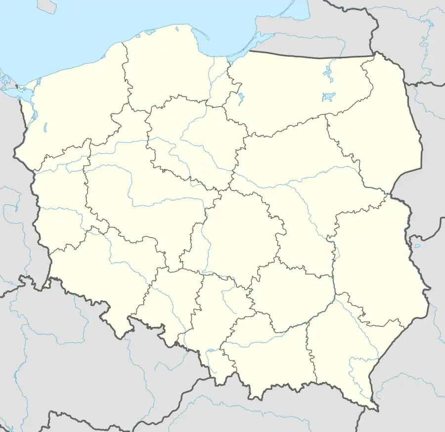
| Voivodeship | Świętokrzyskie |
| County | Sandomierz |
| Gmina | Dwikozy |
| Time zone | UTC+1 (CET) |
| • Summer (DST) | UTC+2 (CEST) |
| Vehicle registration | TSA |
| Voivodeship roads | |
Słupcza [ˈswupt͡ʂa] is a village in the administrative district of Gmina Dwikozy, within Sandomierz County, Świętokrzyskie Voivodeship, in south-central Poland. It lies approximately 4 kilometres (2 mi) north-east of Dwikozy, 10 km (6 mi) north-east of Sandomierz, and 86 km (53 mi) east of the regional capital Kielce.[1]
During the January Uprising, on 8 February 1863, the Battle of Słupcza was fought nearby between Polish insurgents and Russian troops.
References
| Seat | ||
|---|---|---|
| Other villages | ||
This article is issued from Wikipedia. The text is licensed under Creative Commons - Attribution - Sharealike. Additional terms may apply for the media files.