Sabinas | |
|---|---|
Municipality | |
 Coat of arms | |
 Sabinas | |
| Coordinates: 27°55′N 101°18′W / 27.917°N 101.300°W | |
| Country | |
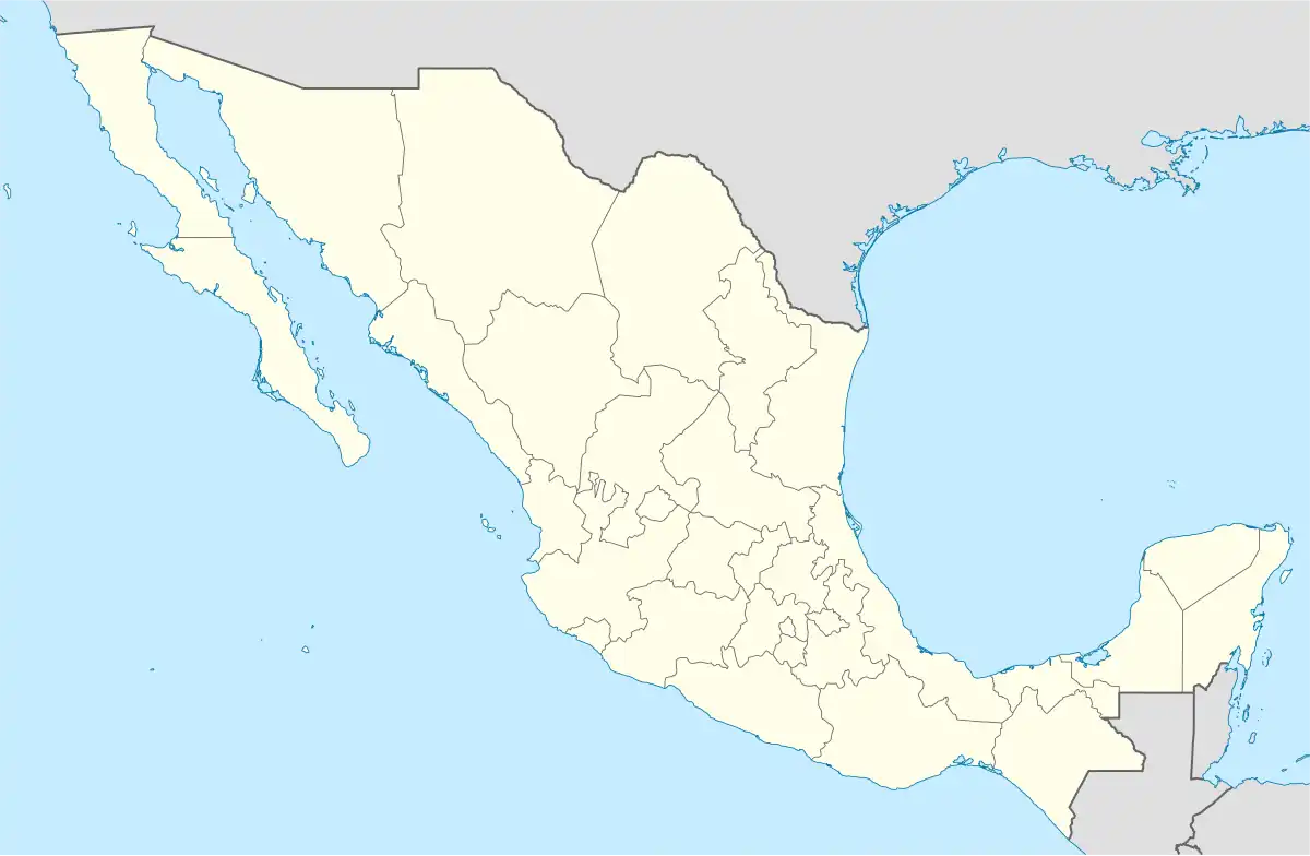
| State | Coahuila |
| Municipality | Sabinas |
| Government | |
| • Mayor | Cuaotemoc Rodriguez |
| Area | |
| • Municipality | 2,345.2 km2 (905.5 sq mi) |
| Elevation | 331 m (1,086 ft) |
| Population (2015) | |
| • Municipality | 63,522 |
| • Density | 27/km2 (70/sq mi) |
| • Metro | 177,430 |
| • City | 47,933 |
| Time zone | UTC−6 (Central (US Central)) |
| • Summer (DST) | UTC−5 (Central) |
| ZipCode | 26700 |
| Area code | 861 |
| Website | http://sabinas.gob.mx/ |
Sabinas is a city in Sabinas Municipality of the same name located in the northeastern quadrant of the state of Coahuila in Mexico.[1] As of the 2005 census the city had a population of 47,933, while the municipality of which the city serves as municipal seat had a population of 53,042. The municipality has an area of 2,345.2 km² (905.49 sq mi). Its only other significant communities are the towns of Cloete and Agujita.
As of 2015, the population of the city was 63,522,[2] while the metropolitan area had a population of 177,430 inhabitants.[2]
Geography
Climate
The climate of the region is semi-arid.
References
- ↑ Instituto Nacional de Estadística y Geografía. Principales resultados por localidad 2005 (ITER). Retrieved on November 9, 2008
- 1 2 "Número de habitantes. Coahuila de Zaragoza". www.cuentame.inegi.org.mx.
- Coahuila Enciclopedia de los Municipios de México
External links
- Presidencia Municipal de Sabinas Official website

This article is issued from Wikipedia. The text is licensed under Creative Commons - Attribution - Sharealike. Additional terms may apply for the media files.