| Sadamisaki Hantō-Uwakai Prefectural Natural Park | |
|---|---|
| 佐田岬半島宇和海県立自然公園 | |
 | |
  | |
| Location | Ehime Prefecture, Japan |
| Nearest city | Ikata, Seiyo, Yawatahama |
| Coordinates | 33°23′10″N 132°20′28″E / 33.386°N 132.341°E |
| Area | 5.17 square kilometres (2.00 sq mi) 10.207 square kilometres (3.941 sq mi) (including marine area) |
| Established | 15 October 1965 |
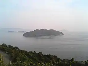
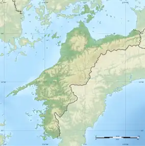
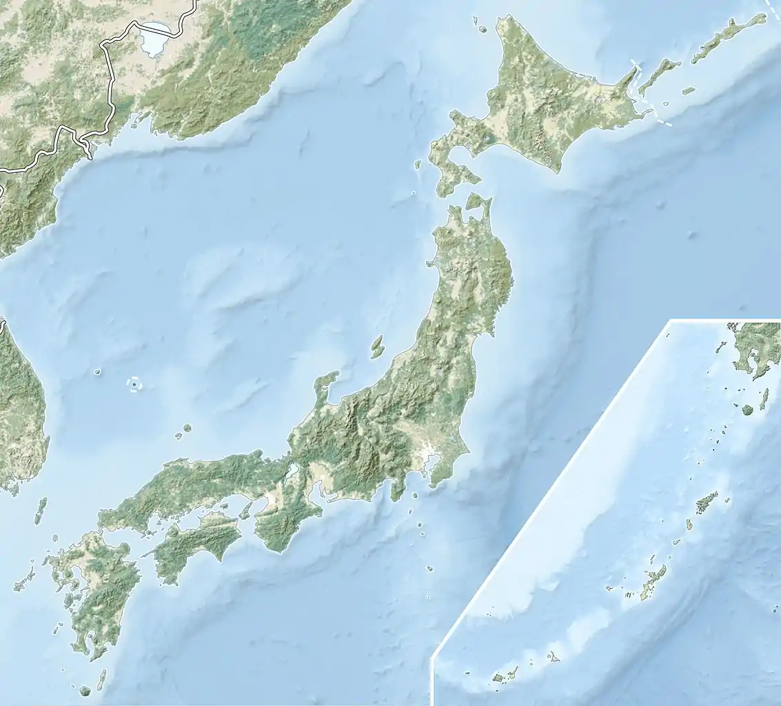
Sadamisaki Hantō-Uwakai Prefectural Natural Park (佐田岬半島宇和海県立自然公園, Sadamisaki Hantō-Uwakai kenritsu shizen-kōen) is a Prefectural Natural Park in Ehime Prefecture, Japan. Established in 1965, the park spans the borders of the municipalities of Ikata, Seiyo, and Yawatahama. The park's central features are the eponymous Sadamisaki Peninsula and Uwa Sea.[1][2]
See also
References
- ↑ 自然公園 [Natural Parks] (in Japanese). Ehime Prefecture. 13 January 2017. Retrieved 23 September 2020.
- ↑ 公園指定状況 [Situation re Designated Natural Parks] (PDF) (in Japanese). Ehime Prefecture. Retrieved 23 September 2020.
External links
- (in Japanese) Detailed map of Sadamisaki Hantō-Uwakai Prefectural Natural Park (west)
- (in Japanese) Detailed map of Sadamisaki Hantō-Uwakai Prefectural Natural Park (east)
This article is issued from Wikipedia. The text is licensed under Creative Commons - Attribution - Sharealike. Additional terms may apply for the media files.