Saguenay/Saint-Charles-de-Bourget Water Aerodrome | |||||||||||
|---|---|---|---|---|---|---|---|---|---|---|---|
| Summary | |||||||||||
| Airport type | Private | ||||||||||
| Operator | Michel Guay | ||||||||||
| Location | Saint-Charles-de-Bourget, Quebec | ||||||||||
| Time zone | EST (UTC−05:00) | ||||||||||
| • Summer (DST) | EDT (UTC−04:00) | ||||||||||
| Elevation AMSL | 230 ft / 70 m | ||||||||||
| Coordinates | 48°30′34″N 071°27′50″W / 48.50944°N 71.46389°W | ||||||||||
| Map | |||||||||||
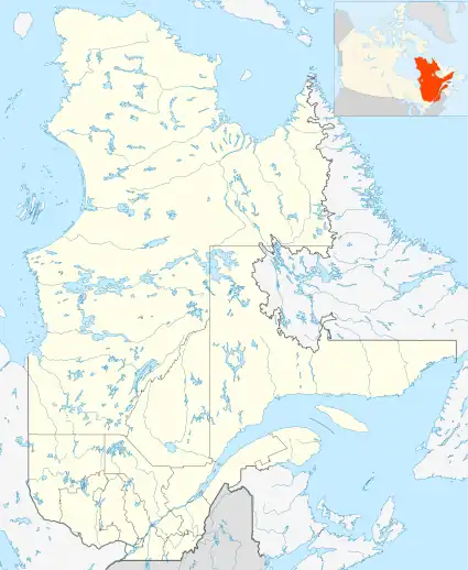 CSA5 Location in Quebec 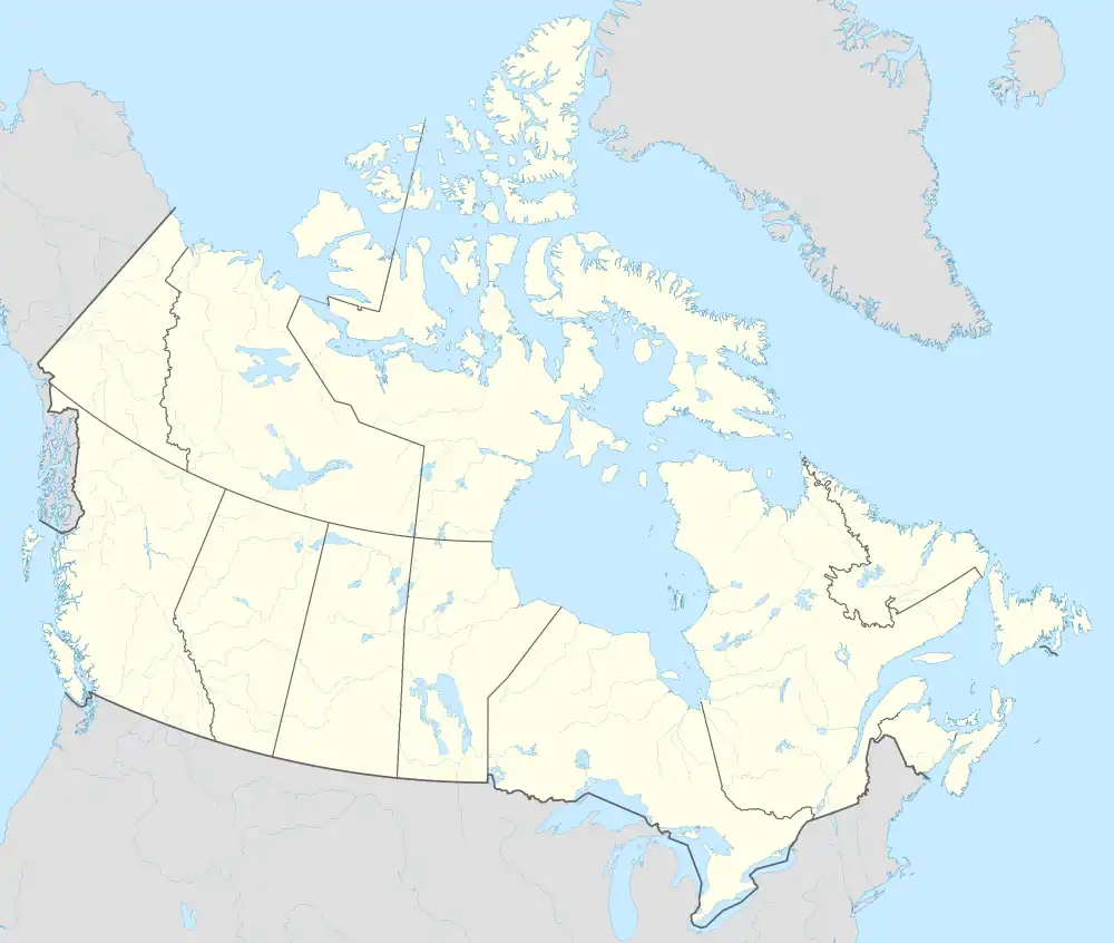 CSA5 CSA5 (Canada) | |||||||||||
| Runways | |||||||||||
| |||||||||||
Source: Water Aerodrome Supplement[1] | |||||||||||
Saguenay/Saint-Charles-de-Bourget Water Aerodrome (TC LID: CSA5) is located on the Saguenay River, 5.8 nautical miles (10.7 km; 6.7 mi) west northwest of Saint-Charles-de-Bourget, Quebec, Canada.
References
- ↑ Nav Canada's Water Aerodrome Supplement. Effective 0901Z 26 March 2020 to 0901Z 22 April 2021.
| By name | |
|---|---|
| By location indicator | |
| By province/territory | |
| By area | |
| National Airports System | |
| Related | |
| |
This article is issued from Wikipedia. The text is licensed under Creative Commons - Attribution - Sharealike. Additional terms may apply for the media files.