Saint-Charles-sur-Richelieu | |
|---|---|
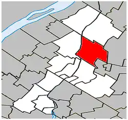 Location within La Vallée-du-Richelieu RCM. | |
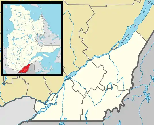 Saint-Charles-sur-Richelieu Location in southern Quebec. | |
| Coordinates: 45°41′N 73°11′W / 45.683°N 73.183°W[1] | |
| Country | |
| Province | |
| Region | Montérégie |
| RCM | La Vallée-du-Richelieu |
| Settled | 1698 |
| Constituted | March 22, 1995 |
| Government | |
| • Mayor | Sébastien Raymond |
| • Federal riding | Verchères—Les Patriotes |
| • Prov. riding | Borduas |
| Area | |
| • Total | 66.60 km2 (25.71 sq mi) |
| • Land | 65.21 km2 (25.18 sq mi) |
| Population | |
| • Total | 1,643 |
| • Density | 25.2/km2 (65/sq mi) |
| • Pop 2006-2011 | |
| • Dwellings | 698 |
| Time zone | UTC−5 (EST) |
| • Summer (DST) | UTC−4 (EDT) |
| Postal code(s) | |
| Area code(s) | 450 and 579 |
| Highways | |
| Website | www.saint-charles -sur-richelieu.ca |
Saint-Charles-sur-Richelieu is a municipality in southwestern Quebec, Canada, on the Richelieu River in the Regional County Municipality of La Vallée-du-Richelieu. The population as of the Canada 2011 Census was 1,643.
Demographics
|
Population Population trend:[5]
|
Language Mother tongue language (2006)[6]
|
Communities
- Kierkoski
- Saint-Charles-sur-Richelieu
See also
References
- ↑ "Banque de noms de lieux du Québec: Reference number 298459". toponymie.gouv.qc.ca (in French). Commission de toponymie du Québec.
- 1 2 Ministère des Affaires municipales, des Régions et de l'Occupation du territoire: Saint-Charles-sur-Richelieu
- ↑ Parliament of Canada Federal Riding History: VERCHÈRES--LES PATRIOTES (Quebec)
- 1 2 2011 Statistics Canada Census Profile: Saint-Charles-sur-Richelieu, Quebec
- ↑ Statistics Canada: 1996, 2001, 2006, 2011 census
- ↑ 2006 Statistics Canada Community Profile: Saint-Charles-sur-Richelieu, Quebec
Adjacent Municipal Subdivisions | |
|---|---|
| Cities | |
|---|---|
| Municipalities | |
| |
This article is issued from Wikipedia. The text is licensed under Creative Commons - Attribution - Sharealike. Additional terms may apply for the media files.