Saint-Clair-sur-Epte | |
|---|---|
%252C_%C3%A9glise_Notre-Dame%252C_place_Rollon_02.jpg.webp) The church of Our Lady, in Saint-Clair-sur-Epte | |
.svg.png.webp) Coat of arms | |
Location of Saint-Clair-sur-Epte | |
 Saint-Clair-sur-Epte 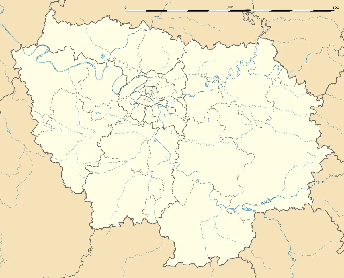 Saint-Clair-sur-Epte | |
| Coordinates: 49°12′29″N 1°40′49″E / 49.2081°N 1.6803°E | |
| Country | France |
| Region | Île-de-France |
| Department | Val-d'Oise |
| Arrondissement | Pontoise |
| Canton | Vauréal |
| Government | |
| • Mayor (2020–2026) | Christophe Depont[1] |
| Area 1 | 12.18 km2 (4.70 sq mi) |
| Population | 986 |
| • Density | 81/km2 (210/sq mi) |
| Time zone | UTC+01:00 (CET) |
| • Summer (DST) | UTC+02:00 (CEST) |
| INSEE/Postal code | 95541 /95770 |
| Elevation | 30–142 m (98–466 ft) |
| 1 French Land Register data, which excludes lakes, ponds, glaciers > 1 km2 (0.386 sq mi or 247 acres) and river estuaries. | |
Saint-Clair-sur-Epte (French pronunciation: [sɛ̃ klɛʁ syʁ ɛpt] ⓘ, literally Saint-Clair on Epte) is a commune in the Val-d'Oise department in Île-de-France in northern France. It is situated on the river Epte, 10 km southwest of Gisors.
The treaty of Saint-Clair-sur-Epte in 911 established Rollo, a Norse warlord and Viking leader, as the first Duke of Normandy.
Henry I of England seized the castle of Saint-Clair-sur-Epte in 1118.[3]
See also
References
- ↑ "Répertoire national des élus: les maires" (in French). data.gouv.fr, Plateforme ouverte des données publiques françaises. 4 May 2022.
- ↑ "Populations légales 2021". The National Institute of Statistics and Economic Studies. 28 December 2023.
- ↑ Ordericus Vitalis, The Ecclesiastical History, Book XII. (The Ecclesiastical History of Orderic Vitalis: Books XI, XII and XIII, Translated and edited by Marjorie Chibnall, Oxford University Press, 2002. ISBN 0-19-822242-4)
External links
- Official website (in French)
- Base Mérimée: Search for heritage in the commune, Ministère français de la Culture. (in French)
- Association of Mayors of the Val d'Oise (in French)
Wikimedia Commons has media related to Saint-Clair-sur-Epte.
This article is issued from Wikipedia. The text is licensed under Creative Commons - Attribution - Sharealike. Additional terms may apply for the media files.