Saint-Séverin | |
|---|---|
.jpg.webp) The village core, as seen from Rang 1. | |
_Quebec_location_diagram.png.webp) Location within Beauce-Centre RCM. | |
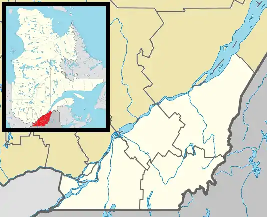 Saint-Séverin Location in southern Quebec. | |
| Coordinates: 46°19′N 71°03′W / 46.317°N 71.050°W[1] | |
| Country | |
| Province | |
| Region | Chaudière-Appalaches |
| RCM | Beauce-Centre |
| Constituted | December 24, 1875 |
| Government | |
| • Mayor | Jean-Paul Cloutier |
| • Federal riding | Beauce |
| • Prov. riding | Beauce-Nord |
| Area | |
| • Total | 58.70 km2 (22.66 sq mi) |
| • Land | 58.92 km2 (22.75 sq mi) |
| There is an apparent contradiction between two authoritative sources | |
| Population (2021)[3] | |
| • Total | 300 |
| • Density | 5.1/km2 (13/sq mi) |
| • Pop 2016-2021 | |
| • Dwellings | 191 |
| Time zone | UTC−5 (EST) |
| • Summer (DST) | UTC−4 (EDT) |
| Postal code(s) | |
| Area code(s) | 418 and 581 |
| Highways | No major routes |
| Website | www |
Saint-Séverin is a parish in the Beauce-Centre Regional County Municipality in Quebec, Canada. It is part of the Chaudière-Appalaches region and the population is 300 as of 2021. It is named after Reverend Édouard-Séverin Fafard, founder of the parish in 1864.
Demographics
| Year | Pop. | ±% |
|---|---|---|
| 1881 | 924 | — |
| 1891 | 790 | −14.5% |
| 1901 | 706 | −10.6% |
| 1911 | 647 | −8.4% |
| 1921 | 631 | −2.5% |
| 1931 | 695 | +10.1% |
| 1941 | 808 | +16.3% |
| 1951 | 666 | −17.6% |
| 1956 | 638 | −4.2% |
| 1961 | 516 | −19.1% |
| 1966 | 397 | −23.1% |
| 1971 | 354 | −10.8% |
| 1976 | 318 | −10.2% |
| 1981 | 329 | +3.5% |
| 1986 | 288 | −12.5% |
| 1991 | 288 | +0.0% |
| 1996 | 272 | −5.6% |
| 2001 | 278 | +2.2% |
| 2006 | 279 | +0.4% |
| 2011 | 266 | −4.7% |
| 2016 | 278 | +4.5% |
| 2021 | 300 | +7.9% |
In the 2021 Census of Population conducted by Statistics Canada, Saint-Séverin had a population of 300 living in 143 of its 191 total private dwellings, a change of 7.9% from its 2016 population of 278. With a land area of 58.92 km2 (22.75 sq mi), it had a population density of 5.1/km2 (13.2/sq mi) in 2021.[5]
References
- ↑ "Banque de noms de lieux du Québec: Reference number 57632". toponymie.gouv.qc.ca (in French). Commission de toponymie du Québec.
- 1 2 "Répertoire des municipalités: Geographic code 27070". www.mamh.gouv.qc.ca (in French). Ministère des Affaires municipales et de l'Habitation.
- 1 2 "Tableau de profil, Profil du recensement, Recensement de la population de 2021". 9 February 2022.
- ↑ Statistics Canada: 1996, 2001, 2006, 2011, 2016, 2021 census
- ↑ "Population and dwelling counts: Canada, provinces and territories, and census subdivisions (municipalities), Quebec". Statistics Canada. February 9, 2022. Retrieved August 29, 2022.
Places adjacent to Saint-Séverin, Chaudière-Appalaches, Quebec | |
|---|---|
| Cities & Towns | |
|---|---|
| Municipalities | |
| Parishes | |
| Villages | |
| |
This article is issued from Wikipedia. The text is licensed under Creative Commons - Attribution - Sharealike. Additional terms may apply for the media files.