Saint Johns, Ohio | |
|---|---|
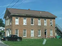 An old house in Saint Johns | |
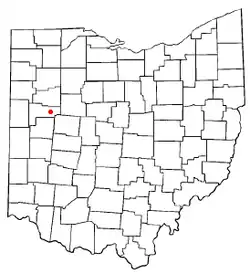 Location of Saint Johns, Ohio | |
| Country | United States |
| State | Ohio |
| County | Auglaize |
| Township | Union |
| Area | |
| • Total | 0.40 sq mi (1.0 km2) |
| Population (2020) | |
| • Total | 304 |
| • Density | 760/sq mi (290/km2) |
| Time zone | UTC-5 (Eastern (EST)) |
| • Summer (DST) | UTC-4 (EDT) |
| Area code | 419 |
Saint Johns is a census-designated place located along the border between the Union and Clay townships of Auglaize County, Ohio, United States.[2] As of the 2010 census it had a population of 304.[3]
It is located between Indian Lake and Wapakoneta at the intersection of U.S. Route 33 and State Route 65. Served by the Wapakoneta City School District, the zip code for Saint Johns is 45884.
History
Saint Johns was founded in 1835, and named for John Rogers, proprietor.[4] A post office called Saint Johns has been in operation since 1838.[5] In the center of Saint Johns, on the corner of Center Street and Walnut Street, is a memorial recognizing this place to be known as Black Hoof's last home.[6]
References
- ↑ "ArcGIS REST Services Directory". United States Census Bureau. Retrieved September 20, 2022.
- ↑ U.S. Geological Survey Geographic Names Information System: Saint Johns, Ohio
- ↑ "St. Johns, Ohio - Profile Data". censusreporter.org. Census Reporter. Retrieved May 22, 2023.
- ↑ Sutton, Robert (1880). History of Auglaize County, Ohio : with the Indian history of Wapakoneta, and the first settlement of the county. p. 172.
- ↑ "Auglaize County". Jim Forte Postal History. Retrieved December 22, 2015.
- ↑ "Shelby County Historical Society - Indians - Chief Blackhoof".
Municipalities and communities of Auglaize County, Ohio, United States | ||
|---|---|---|
| Cities | 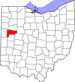 Map of Ohio highlighting Auglaize County | |
| Villages | ||
| Townships | ||
| CDPs | ||
| Unincorporated communities | ||
| Footnotes | ‡This populated place also has portions in an adjacent county or counties | |
40°33′20″N 84°04′49″W / 40.55556°N 84.08028°W
This article is issued from Wikipedia. The text is licensed under Creative Commons - Attribution - Sharealike. Additional terms may apply for the media files.