Sainte-Euphémie-sur-Rivière-du-Sud | |
|---|---|
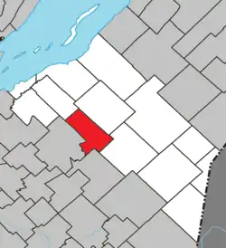 Location within La Matapédia RCM. | |
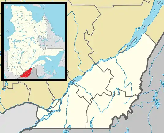 Sainte-Euphémie-sur-Rivière-du-Sud Location in province of Quebec. | |
| Coordinates: 46°46′N 70°26′W / 46.767°N 70.433°W[1] | |
| Country | |
| Province | |
| Region | Chaudière-Appalaches |
| RCM | Montmagny |
| Constituted | July 20, 1907 |
| Government | |
| • Mayor | Gilles Giroux |
| • Federal riding | Montmagny—L'Islet— Kamouraska—Rivière- du-Loup |
| • Prov. riding | Côte-du-Sud |
| Area | |
| • Total | 93.20 km2 (35.98 sq mi) |
| • Land | 91.90 km2 (35.48 sq mi) |
| Population | |
| • Total | 329 |
| • Density | 3.6/km2 (9/sq mi) |
| • Pop 2006-2011 | |
| • Dwellings | 192 |
| Time zone | UTC−5 (EST) |
| • Summer (DST) | UTC−4 (EDT) |
| Postal code(s) | |
| Area code(s) | 418 and 581 |
| Highways | No major routes |
Sainte-Euphémie is a municipality of 350 people in the Montmagny Regional County Municipality within the Chaudière-Appalaches region of Quebec.
See also
References
- ↑ "Banque de noms de lieux du Québec: Reference number 56161". toponymie.gouv.qc.ca (in French). Commission de toponymie du Québec.
- 1 2 "Répertoire des municipalités: Geographic code 18035". www.mamh.gouv.qc.ca (in French). Ministère des Affaires municipales et de l'Habitation.
- 1 2 "Sainte-Euphémie-sur-Rivière-du-Sud, Quebec (Code 2418035) Census Profile". 2011 census. Government of Canada - Statistics Canada.
Adjacent Municipal Subdivisions | ||||||||||||||||
|---|---|---|---|---|---|---|---|---|---|---|---|---|---|---|---|---|
| ||||||||||||||||
| Cities & Towns | |
|---|---|
| Municipalities | |
| Parishes | |
| |
This article is issued from Wikipedia. The text is licensed under Creative Commons - Attribution - Sharealike. Additional terms may apply for the media files.